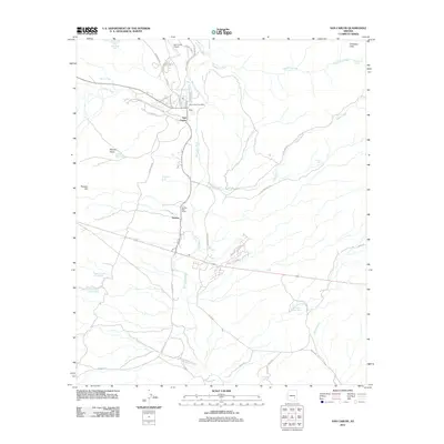
2011 Map of San Carlos
USGS Topo · Published 2011About this map
The San Carlos River flows southward through this Gila County landscape, providing a geographical anchor for the communities of San Carlos and Peridot. The map documents a structured network of local infrastructure, including the San Carlos Post Office, the San Carlos Airport, and the Peridot Post Office along the main transit corridors of Indian Rte 10 and Indian Rte 3. These settlements are framed by prominent landforms such as Peridot Mesa and Antelope Flats, while the surrounding terrain is marked by numerous washes like Gilson Wash and Triplet Wash.
Find a feature on this map
48 named features on this map. Tap any name to fly to it.
Don’t see what you’re looking for? This feature index may not catch every label — zoom into the map to look around manually.
Map Details
Editions of this 2011 San Carlos Map
This is the sole edition of this map. No revisions or reprints were ever made.
Other maps of this area

1915 · Christmas
USGS Topo · 1:62,500

1917 · Christmas
USGS Topo · 1:62,500

1954 · Mesa
USGS Topo · 1:250,000

1957 · Mesa
USGS Topo · 1:250,000

1958 · Mesa
USGS Topo · 1:250,000

1960 · Mesa
USGS Topo · 1:250,000

1962 · San Carlos Reservoir
USGS Topo · 1:62,500

1964 · Mesa
USGS Topo · 1:250,000

1965 · Sontag Mesa
USGS Topo · 1:24,000

1965 · Bucket Mtn
USGS Topo · 1:24,000