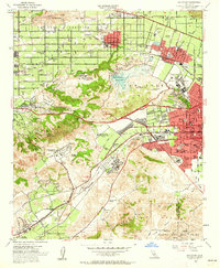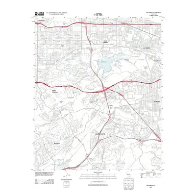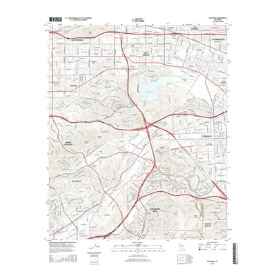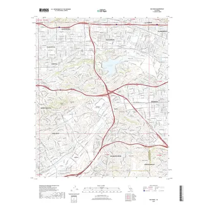
2021 Map of San Dimas
USGS Topo · Published 2021About this map
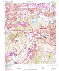
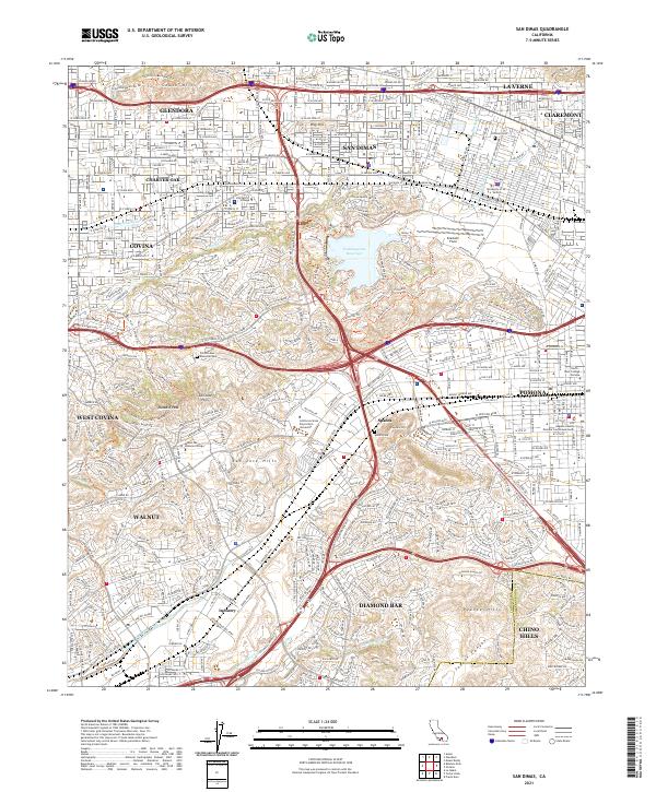
The Puddingstone Reservoir serves as a central hydrological landmark for this eastern Los Angeles County region, surrounded by the developed communities of San Dimas, Glendora, and La Verne. The landscape is defined by the sharp transition from urban residential grids to the natural elevations of the South Hills and San Jose Hills. Academic institutions form significant anchors in the area, including California State Polytechnic University, University of La Verne, and Mount San Antonio College.
Find a feature on this map
88 named features on this map. Tap any name to fly to it.
Don’t see what you’re looking for? This feature index may not catch every label — zoom into the map to look around manually.
Map Details
Editions of this 2021 San Dimas Map
This is the sole edition of this map. No revisions or reprints were ever made.
Historical Maps of Pomona Through Time
6 maps found