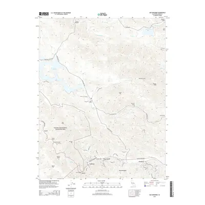
2015 Map of San Geronimo
USGS Topo · Published 2015About this map
San Geronimo and its neighboring valley communities of Woodacre, Forest Knolls, and Lagunitas anchor the southern portion of this landscape along Sir Francis Drake Blvd. This area represents a transition from residential enclaves into the protected wilderness of the Golden Gate National Recreation Area. To the north, the waters of Nicasio Reservoir and Stafford Lake dominate the drainage basins of Arroyo Sausal and Novato Cr, reflecting the region's managed water resources.
Find a feature on this map
65 named features on this map. Tap any name to fly to it.
Don’t see what you’re looking for? This feature index may not catch every label — zoom into the map to look around manually.
Map Details
Editions of this 2015 San Geronimo Map
This is the sole edition of this map. No revisions or reprints were ever made.
Other maps of this area

1897 · Tamalpais
USGS Topo · 1:62,500

1914 · Petaluma
USGS Topo · 1:62,500

1916 · Point Reyes
USGS Topo · 1:48,000

1918 · Point Reyes
USGS Topo · 1:62,500

1941 · Tamalpais
USGS Topo · 1:62,500

1942 · Petaluma
USGS Topo · 1:62,500

1947 · Santa Rosa
USGS Topo · 1:250,000

1947 · San Francisco
USGS Topo · 1:250,000

1948 · San Francisco
USGS Topo · 1:250,000

1949 · Santa Rosa
USGS Topo · 1:250,000