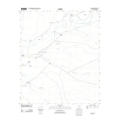
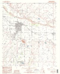
2011 Map of San Jose
USGS Topo · Published 2011About this map
Gila Valley agriculture and the sprawling water management systems of Graham County define this topographic study. The Gila River flows westward, supported by irrigation infrastructure like the Fourness Canal and protective works such as the Judy Wash Retarding Dam and Sam Simon Barrier Structure Dam. Small settlements and family-named landmarks are clustered along the river corridor, including Buena Vista, San Jose, and the tiny community of Gripe.
Find a feature on this map
44 named features on this map. Tap any name to fly to it.
Don’t see what you’re looking for? This feature index may not catch every label — zoom into the map to look around manually.
Map Details
Editions of this 2011 San Jose Map
This is the sole edition of this map. No revisions or reprints were ever made.
Other maps of this area

1954 · Silver City
USGS Topo · 1:250,000

1958 · Silver City
USGS Topo · 1:250,000

1960 · Guthrie
USGS Topo · 1:62,500

1960 · Safford
USGS Topo · 1:62,500

1962 · Silver City
USGS Topo · 1:250,000
1966 · Artesia NE
USGS Topo · 1:24,000

1966 · Artesia
USGS Topo · 1:24,000
1966 · Dry Mountain
USGS Topo · 1:24,000
1985 · Gila Box
USGS Topo · 1:24,000
1985 · Safford
USGS Topo · 1:24,000