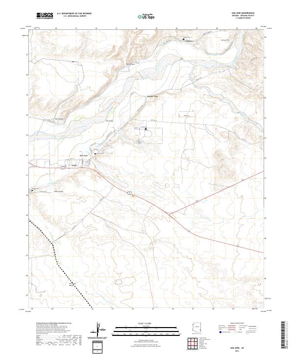
2021 Map of San Jose
USGS Topo · Published 2021About this map
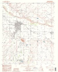
San Jose and the surrounding Gila Valley define this landscape, where early agricultural irrigation patterns remain visible along the Gila River. Small agricultural hubs like Buena Vista, Sanchez, and Gripe are connected by a network of local roads such as Old Sanchez Rd and Old Hwy 70. The importance of water management to these valley settlements is evidenced by the San Jose Canal and Brown Canal, which parallel the river to feed the local fields. Genealogy researchers can locate several key burial sites including San Jose Cem, Sanchez Cem, and Solomon Cem. To the south, the terrain opens into the San Simon Valley, where the San Simon River and San Jose Wash drain the arid landscape toward the main river channel.
Find a feature on this map
47 named features on this map. Tap any name to fly to it.
Don’t see what you’re looking for? This feature index may not catch every label — zoom into the map to look around manually.
Map Details
Editions of this 2021 San Jose Map
This is the sole edition of this map. No revisions or reprints were ever made.
Other maps of this area

1954 · Silver City
USGS Topo · 1:250,000

1958 · Silver City
USGS Topo · 1:250,000

1960 · Guthrie
USGS Topo · 1:62,500

1960 · Safford
USGS Topo · 1:62,500

1962 · Silver City
USGS Topo · 1:250,000
1966 · Artesia NE
USGS Topo · 1:24,000

1966 · Artesia
USGS Topo · 1:24,000
1966 · Dry Mountain
USGS Topo · 1:24,000
1985 · Gila Box
USGS Topo · 1:24,000
1985 · Safford
USGS Topo · 1:24,000