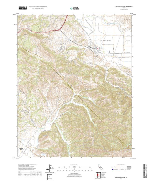
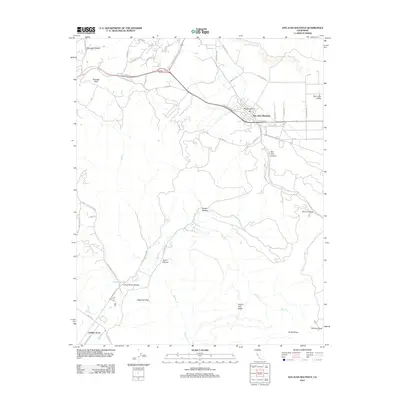
2021 Map of San Juan Bautista
USGS Topo · Published 2021About this map
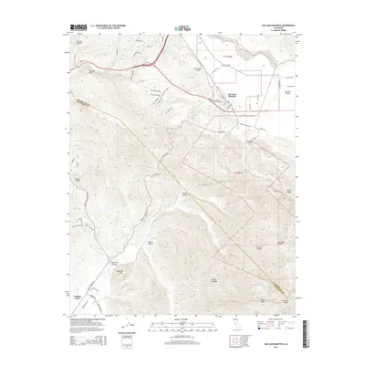
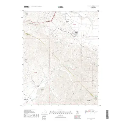
San Juan Bautista serves as the focal point of this 2021 landscape, where the historic town grid meets the productive fields of the San Juan Valley. The terrain is defined by the significant rise of the Gabilan Range, culminating in prominent landmarks like Fremont Peak and Sugarloaf Peak. This area, marking the boundary between San Benito and Monterey counties, shows a complex network of canyons such as Steinbeck Canyon and French Canyon that drain toward the San Benito River.
Find a feature on this map
86 named features on this map. Tap any name to fly to it.
Don’t see what you’re looking for? This feature index may not catch every label — zoom into the map to look around manually.
Map Details
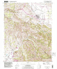
Editions of this 2021 San Juan Bautista Map
This is the sole edition of this map. No revisions or reprints were ever made.
Historical Maps of Prunedale Through Time
10 maps found

1915 San Juan Bautista
San Benito County, CA
1917 San Juan Bautista
San Benito County, CA

1939 San Juan Bautista
San Benito County, CA

1940 San Juan Bautista
San Benito County, CA
1955 San Juan Bautista
San Benito County, CA
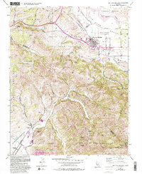
1997 San Juan Bautista
San Benito County, CA
2012 San Juan Bautista
San Benito County, CA
2015 San Juan Bautista
San Benito County, CA
2018 San Juan Bautista
San Benito County, CA
2021 San Juan Bautista
San Benito County, CA