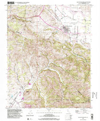
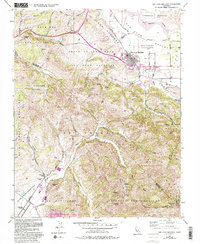
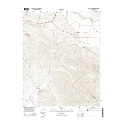
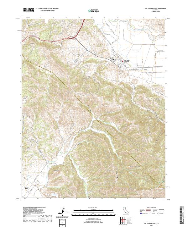
1997 Map of San Juan Bautista
USGS Topo · Published 2002About this map
San Juan Bautista sits at the nexus of California's agricultural heartland and its complex tectonic geography, defined here by the visible San Andreas Fault Zone cutting through the San Benito River valley. The map documents a landscape of historic land grants and ranching heritage, featuring several large tracts such as the San Juan Bautista (Breen) and Los Vergeles. At the center of the community stands the landmark Mission San Juan Bautista and its surrounding historical monuments, marking the town's Spanish colonial roots.
Find a feature on this map
50 named features on this map. Tap any name to fly to it.
Don’t see what you’re looking for? This feature index may not catch every label — zoom into the map to look around manually.
Map Details
Editions of this 1997 San Juan Bautista Map
This is the sole edition of this map. No revisions or reprints were ever made.
Historical Maps of Prunedale Through Time
10 maps found

1915 San Juan Bautista
San Benito County, CA
1917 San Juan Bautista
San Benito County, CA

1939 San Juan Bautista
San Benito County, CA

1940 San Juan Bautista
San Benito County, CA
1955 San Juan Bautista
San Benito County, CA
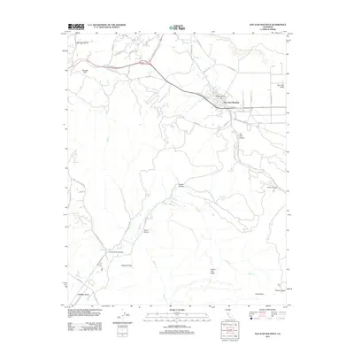
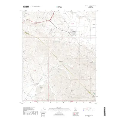
1997 San Juan Bautista
San Benito County, CA
2012 San Juan Bautista
San Benito County, CA
2015 San Juan Bautista
San Benito County, CA
2018 San Juan Bautista
San Benito County, CA
2021 San Juan Bautista
San Benito County, CA