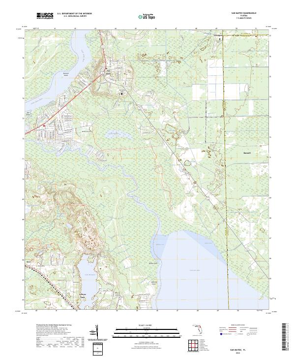
2024 Map of San Mateo
USGS Topo · Published 2024About this map
San Mateo serves as a focal point for this section of Putnam County, positioned where the Saint Johns River and Dunns Creek converge near Buzzard Island. The landscape is defined by its extensive water network and low-lying basins, including Hellcat Bay and Grassy Lake, which illustrate the wetland character of the Florida interior. The settlement pattern follows the high ground between these basins, connecting historic communities like Yelvington and Sisco along established corridors such as Old San Mateo Rd.
Find a feature on this map
96 named features on this map. Tap any name to fly to it.
Don’t see what you’re looking for? This feature index may not catch every label — zoom into the map to look around manually.
Map Details
Editions of this 2024 San Mateo Map
This is the sole edition of this map. No revisions or reprints were ever made.
Other maps of this area

1912 · Palatka
USGS Topo · 1:48,000

1915 · Palatka
USGS Topo · 1:62,500

1937 · Dinner Island
USGS Topo · 1:48,000

1943 · Dinner Island
USGS Topo · 1:62,500

1944 · Dinner Island
USGS Topo · 1:62,500

1954 · Daytona Beach
USGS Topo · 1:250,000

1958 · Daytona Beach
USGS Topo · 1:250,000

1964 · Daytona Beach
USGS Topo · 1:250,000
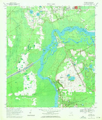
1968 · Satsuma
USGS Topo · 1:24,000
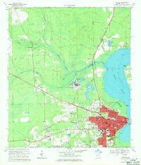
1968 · Palatka
USGS Topo · 1:24,000