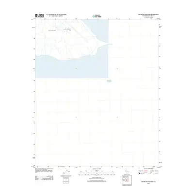
2012 Map of San Nicolas Island
USGS Topo · Published 2012About this map
San Nicolas Island is depicted here in a modern geospatial context, showcasing its strategic military importance within the Channel Islands. The dominant feature of the landscape is the San Nicolas Island Naval Outlying Field, which serves as a critical installation for naval operations and logistics. The coastline reveals the distinctive geography of the southeastern end of the island, including the sheltered waters of Dutch Harbor. Surrounded by the Pacific Ocean, this map provides a clear look at the intersection of natural topography and military infrastructure on one of California's most secluded offshore locations. Researchers of naval history can trace the layout of the runways and access roads that define the island's modern human footprint.
Find a feature on this map
4 named features on this map. Tap any name to fly to it.
Don’t see what you’re looking for? This feature index may not catch every label — zoom into the map to look around manually.
Map Details
Editions of this 2012 San Nicolas Island Map
This is the sole edition of this map. No revisions or reprints were ever made.
Other maps of this area
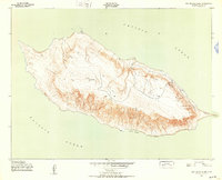
1943 · San Nicolas Island
USGS Topo · 1:24,000

1949 · Long Beach
USGS Topo · 1:250,000
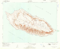
1956 · San Nicolas Island
USGS Topo · 1:24,000

1957 · Long Beach
USGS Topo · 1:250,000

1958 · Long Beach
USGS Topo · 1:250,000

1960 · Long Beach
USGS Topo · 1:250,000
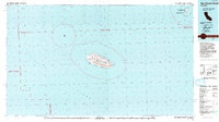
1993 · San Nicolas Island
USGS Topo · 1:100,000
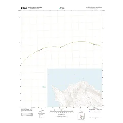
2012 · San Nicolas Island OE NW
USGS Topo · 1:24,000
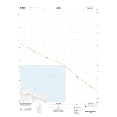
2012 · San Nicolas Island OE N
USGS Topo · 1:24,000
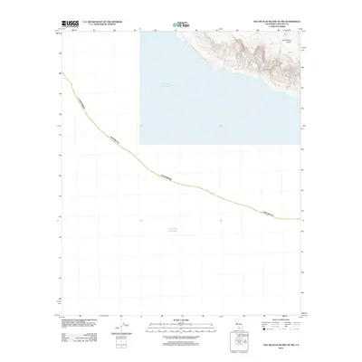
2012 · San Nicolas Island OE SW
USGS Topo · 1:24,000