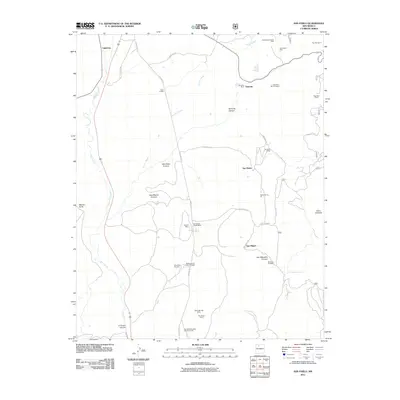
2011 Map of San Pablo
USGS Topo · Published 2011About this map
The Rio Puerco flows through this corner of Sandoval County, carving a valley between the mesas and high desert terrain. The settlement of San Pablo and nearby Campo El Deseo sit east of the river, while San Miguel occupies the lower ground to the south. This area is defined by its deep mining history, evidenced by a high density of claims and pits concentrated along the hillsides. Copper extraction is prominent at the Nacimiento Copper Mine and Nacimiento Mine, while other specialized operations like the Alpha Humas Pit and San Miguel Mine speak to the region's diverse mineral resources.
Find a feature on this map
41 named features on this map. Tap any name to fly to it.
Don’t see what you’re looking for? This feature index may not catch every label — zoom into the map to look around manually.
Map Details
Editions of this 2011 San Pablo Map
This is the sole edition of this map. No revisions or reprints were ever made.
Other maps of this area

1883 · Mt. Taylor
USGS Topo · 1:250,000

1886 · Mt. Taylor
USGS Topo · 1:250,000

1889 · Largo
USGS Topo · 1:250,000

1890 · Jemes
USGS Topo · 1:125,000

1892 · Jemes
USGS Topo · 1:125,000

1892 · Mt. Taylor
USGS Topo · 1:250,000

1895 · Largo
USGS Topo · 1:250,000

1899 · Mt. Taylor
USGS Topo · 1:250,000

1909 · Gallina
USGS Topo · 1:125,000

1939 · La Ventana
USGS Topo · 1:62,500