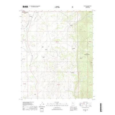
2020 Map of San Pablo
USGS Topo · Published 2020About this map
Santa Fe National Forest encompasses the high country and canyonlands of this terrain, where the Continental Divide National Scenic Trail winds along the western ridges. The landscape is defined by the drainage of the Rio Puerco and numerous tributary arroyos, such as Arroyo Hondo and Arroyo de los Pinos, which have carved deep paths through Señorito Canyon and San Miguelito Canyon. Smaller settlements like San Pablo, Señorito, and San Miguel are clustered near the base of the mountains, reflecting the rural ranching and forestry traditions of Sandoval County. Distinctive landforms like Marion Butte and Cerro Castrado provide clear navigation points for those tracing the historical geography of this region. Notable water sources including San Miguel Spring and Horseshoe Spring emphasize the vital importance of dependable water in this arid high-elevation environment.
Find a feature on this map
33 named features on this map. Tap any name to fly to it.
Don’t see what you’re looking for? This feature index may not catch every label — zoom into the map to look around manually.
Map Details
Editions of this 2020 San Pablo Map
This is the sole edition of this map. No revisions or reprints were ever made.
Other maps of this area

1883 · Mt. Taylor
USGS Topo · 1:250,000

1886 · Mt. Taylor
USGS Topo · 1:250,000

1889 · Largo
USGS Topo · 1:250,000

1890 · Jemes
USGS Topo · 1:125,000

1892 · Jemes
USGS Topo · 1:125,000

1892 · Mt. Taylor
USGS Topo · 1:250,000

1895 · Largo
USGS Topo · 1:250,000

1899 · Mt. Taylor
USGS Topo · 1:250,000

1909 · Gallina
USGS Topo · 1:125,000

1939 · La Ventana
USGS Topo · 1:62,500