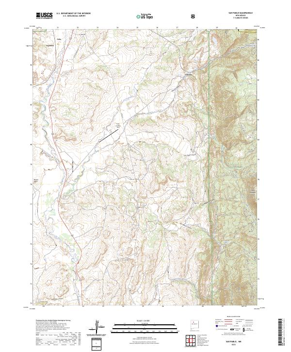
2023 Map of San Pablo
USGS Topo · Published 2023About this map
Cuba and the surrounding high-desert plateau of Sandoval County are the focus of this contemporary topographic survey. The landscape is defined by the winding course of the Rio Puerco and a series of deep drainage systems including Señorito Canyon and San Miguel Canyon. To the east, the terrain rises into the timbered slopes of the Santa Fe National Forest, where the Continental Divide National Scenic Trl traverses the high ground near Señorito. Local landmarks such as Marion Butte and Cerro Castrado provide distinct navigational points across the mesa country. Transportation and infrastructure are represented by the Cuba Landing Strip and a network of rural routes like La Loma Rd and Old Lagunitas Rd, reflecting the modern connectivity of these traditional New Mexican settlements.
Find a feature on this map
31 named features on this map. Tap any name to fly to it.
Don’t see what you’re looking for? This feature index may not catch every label — zoom into the map to look around manually.
Map Details
Editions of this 2023 San Pablo Map
This is the sole edition of this map. No revisions or reprints were ever made.
Other maps of this area

1883 · Mt. Taylor
USGS Topo · 1:250,000

1886 · Mt. Taylor
USGS Topo · 1:250,000

1889 · Largo
USGS Topo · 1:250,000

1890 · Jemes
USGS Topo · 1:125,000

1892 · Jemes
USGS Topo · 1:125,000

1892 · Mt. Taylor
USGS Topo · 1:250,000

1895 · Largo
USGS Topo · 1:250,000

1899 · Mt. Taylor
USGS Topo · 1:250,000

1909 · Gallina
USGS Topo · 1:125,000

1939 · La Ventana
USGS Topo · 1:62,500