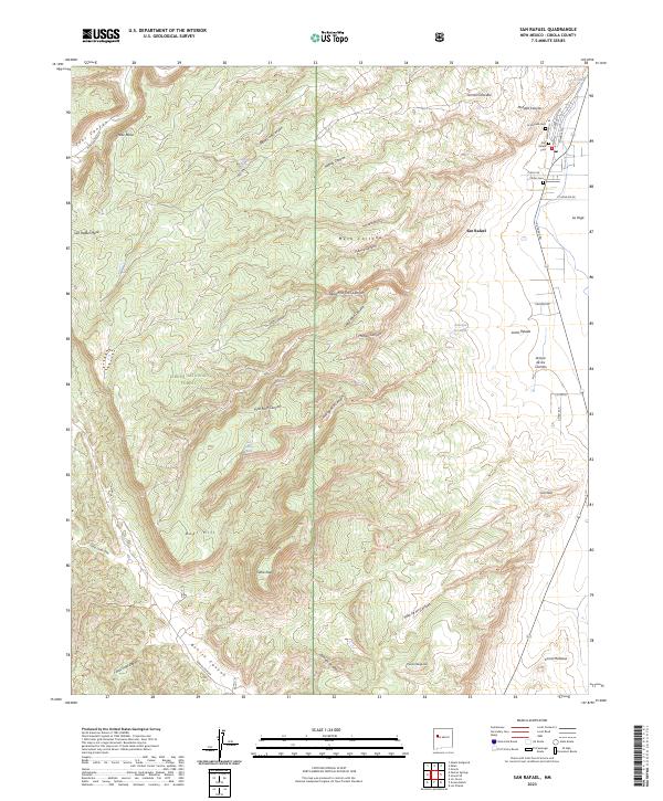
2023 Map of San Rafael
USGS Topo · Published 2023About this map
San Rafael anchors the northeastern corner of this 2023 survey, situated where the high desert meets the wooded slopes of the Cibola National Forest. The map documents a transition from the structured street grid and legacy burial grounds of the settlement, including San Rafael Cem and La Morada Cem, to the intricate network of canyons and mesas to the south and west. Water sources like the Ojo del Gallo and Snooker Spring appear as vital features in an arid landscape defined by significant elevation changes, from the heights of Gallo Peak down through Zuni Canyon. The intricate terrain is named with a mix of Spanish and English influences, reflecting the cultural history of the region. Researchers can trace historical routes like Ft Wingate Rd and Ice Caves Rd as they navigate around landmarks such as Mesa Cortada and Deer Hill.
Find a feature on this map
51 named features on this map. Tap any name to fly to it.
Don’t see what you’re looking for? This feature index may not catch every label — zoom into the map to look around manually.
Map Details
Editions of this 2023 San Rafael Map
This is the sole edition of this map. No revisions or reprints were ever made.
Other maps of this area

1883 · Mt. Taylor
USGS Topo · 1:250,000

1886 · Wingate
USGS Topo · 1:250,000

1886 · Mt. Taylor
USGS Topo · 1:250,000

1892 · Wingate
USGS Topo · 1:250,000

1892 · Mt. Taylor
USGS Topo · 1:250,000

1899 · Mt. Taylor
USGS Topo · 1:250,000

1917 · Broom Mountain
USGS Topo · 1:125,000

1951 · Mt Sedgwick
USGS Topo · 1:24,000

1952 · Paxton Springs
USGS Topo · 1:24,000

1954 · Saint Johns
USGS Topo · 1:250,000