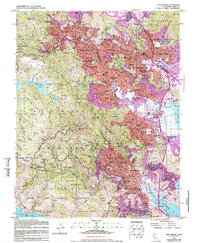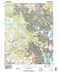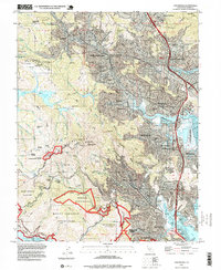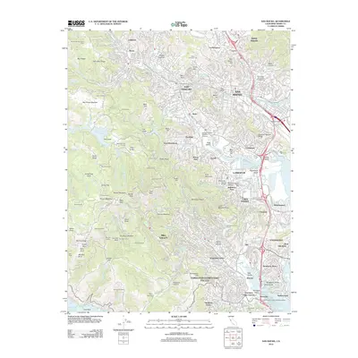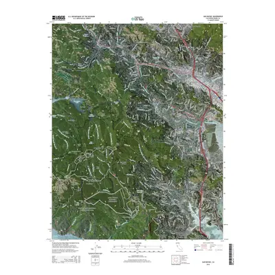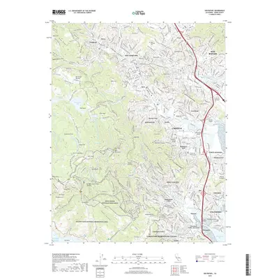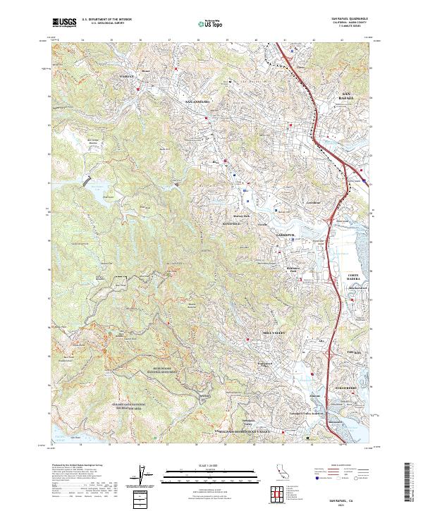
2021 Map of San Rafael
USGS Topo · Published 2021About this map
Muir Woods National Monument and the eastern slopes of the Tamalpais massif dominate this landscape, where the redwood canyons of Redwood Canyon and Kent Canyon descend toward the bayside communities of Marin County. The complex topography includes iconic summits like East Peak and West Peak, alongside the important water reserves of Lake Lagunitas and Bon Tempe Lake. This map reveals the intricate boundary between protected wilderness and the dense residential networks of San Anselmo, Ross, and Larkspur.
Find a feature on this map
96 named features on this map. Tap any name to fly to it.
Don’t see what you’re looking for? This feature index may not catch every label — zoom into the map to look around manually.
Map Details
Editions of this 2021 San Rafael Map
This is the sole edition of this map. No revisions or reprints were ever made.
Historical Maps of San Rafael Through Time
7 maps found