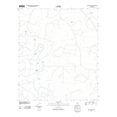
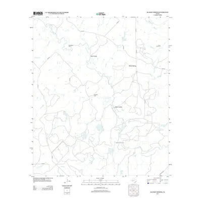
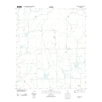
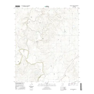
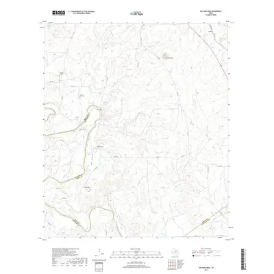
2022 Map of San Saba Peak
USGS Topo · Published 2022About this map
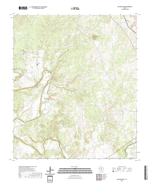
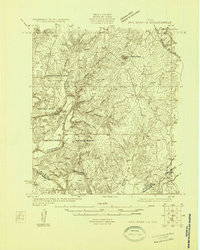
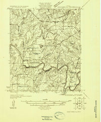
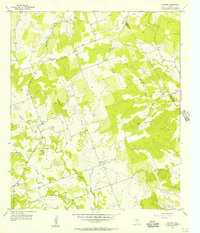
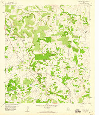
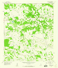
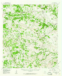
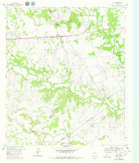
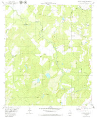
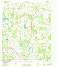
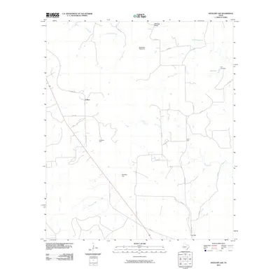
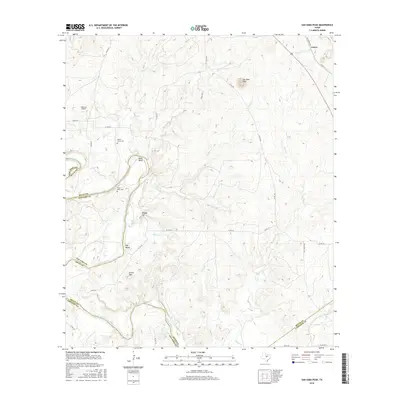
San Saba Peak dominates the high ground of the north-central region, overlooking a complex drainage system that feeds into the Colorado River to the south. This rugged portion of Central Texas is defined by the borders of Mills, San Saba, and Lampasas counties, where the river carves through the landscape near Shaw Bend. Local family history is rooted in the presence of the Nabors Creek Cem and Shaw Bend Cem, which sit amidst a network of creeks including Mosley Cr, Nabors Cr, and Shaw Cr. Small airfields like Edwards Airport and the settlement of Castor punctuate the rangeland. The terrain varies from the elevations of Green Mtn and Vinegar Hill to the low stretches of Rye Valley, reflecting a traditional Texas landscape of ranching and remote county roads.
Find a feature on this map
43 named features on this map. Tap any name to fly to it.
Don’t see what you’re looking for? This feature index may not catch every label — zoom into the map to look around manually.
Map Details
Editions of this 2022 San Saba Peak Map
This is the sole edition of this map. No revisions or reprints were ever made.
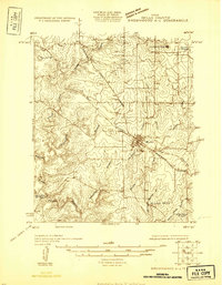
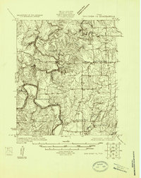
Historical Maps of Castor Through Time
65 maps found
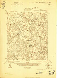
1925 Brownwood 3-d
Mills County, TX
1925 Brownwood 4-c
Mills County, TX
1925 San Saba 1-b
Mills County, TX
1925 San Saba 1-d
Mills County, TX
1925 San Saba 2-a
Mills County, TX
1956 Caradan
Mills County, TX
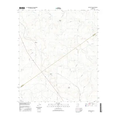
1959 Antelope Gap
Mills County, TX
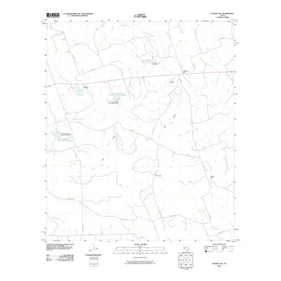
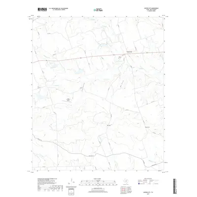
1959 Center City
Mills County, TX
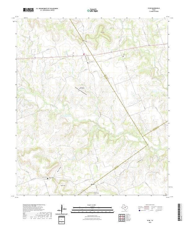
1959 Star
Mills County, TX
1959 Star
Mills County, TX
1979 Blanket Springs
Mills County, TX
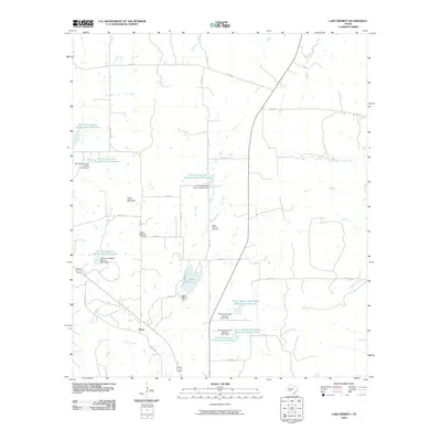
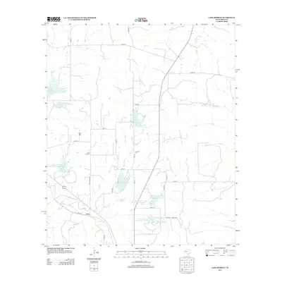
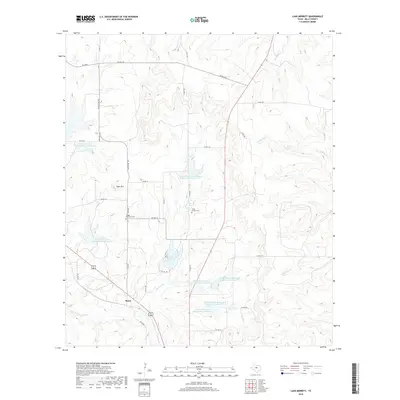
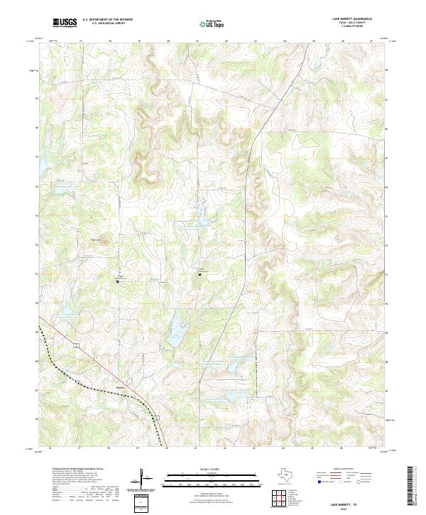
1979 Lake Merritt
Mills County, TX
1980 Big Valley North
Mills County, TX
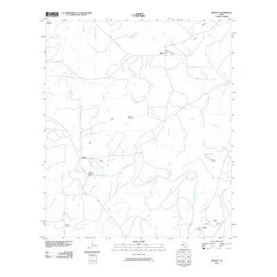
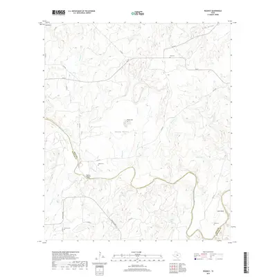
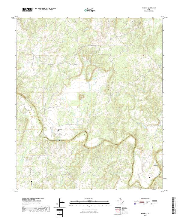
1980 Regency
Mills County, TX
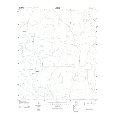
1980 San Saba Peak
Mills County, TX
2010 Antelope Gap
Mills County, TX
2010 Big Valley North
Mills County, TX
2010 Blanket Springs
Mills County, TX
2010 Caradan
Mills County, TX
2010 Center City
Mills County, TX
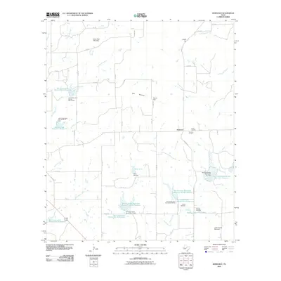
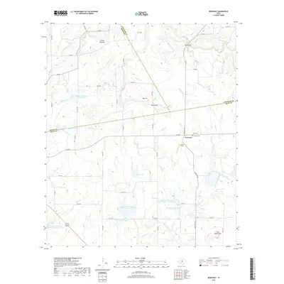
2010 Democrat
Mills County, TX
2010 Lake Merritt
Mills County, TX
2010 Regency
Mills County, TX
2010 San Saba Peak
Mills County, TX
2010 Star
Mills County, TX
2012 Antelope Gap
Mills County, TX
2012 Big Valley North
Mills County, TX
2012 Blanket Springs
Mills County, TX
2012 Center City
Mills County, TX
2012 Regency
Mills County, TX

2012 Star
Mills County, TX
2013 Caradan
Mills County, TX
2013 Democrat
Mills County, TX
2013 Lake Merritt
Mills County, TX
2013 San Saba Peak
Mills County, TX
2016 Antelope Gap
Mills County, TX
2016 Big Valley North
Mills County, TX
2016 Blanket Springs
Mills County, TX
2016 Caradan
Mills County, TX
2016 Center City
Mills County, TX
2016 Democrat
Mills County, TX
2016 Lake Merritt
Mills County, TX
2016 Regency
Mills County, TX
2016 San Saba Peak
Mills County, TX

2016 Star
Mills County, TX
2019 Antelope Gap
Mills County, TX
2019 Big Valley North
Mills County, TX
2019 Blanket Springs
Mills County, TX
2019 Caradan
Mills County, TX
2019 Center City
Mills County, TX
2019 Democrat
Mills County, TX
2019 Lake Merritt
Mills County, TX
2019 Regency
Mills County, TX
2019 San Saba Peak
Mills County, TX
2019 Star
Mills County, TX
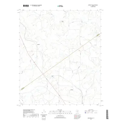
2022 Antelope Gap
Mills County, TX
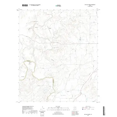
2022 Big Valley North
Mills County, TX
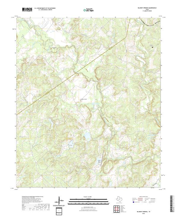
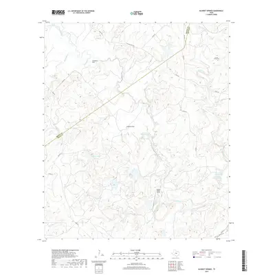
2022 Blanket Springs
Mills County, TX
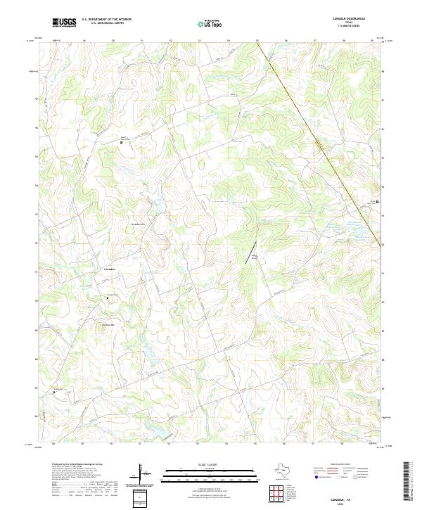
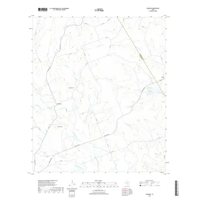
2022 Caradan
Mills County, TX
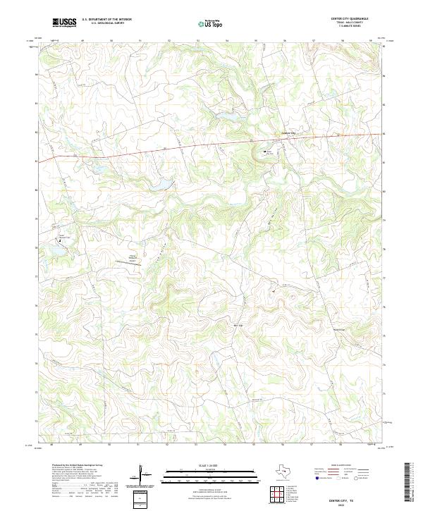
2022 Center City
Mills County, TX
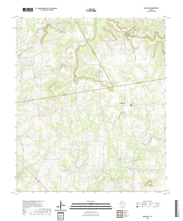
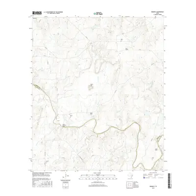
2022 Democrat
Mills County, TX
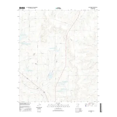
2022 Lake Merritt
Mills County, TX
2022 Regency
Mills County, TX
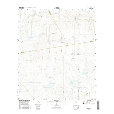
2022 San Saba Peak
Mills County, TX
2022 Star
Mills County, TX