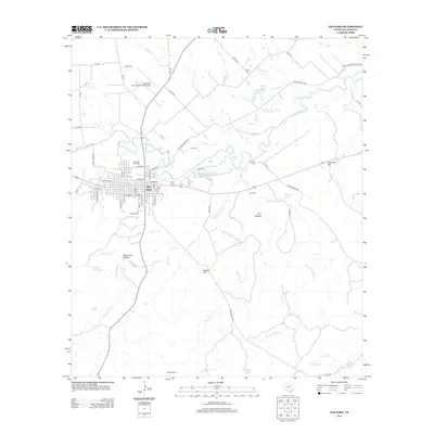
2013 Map of San Saba
USGS Topo · Published 2013About this map
San Saba serves as the focal point of this Central Texas landscape, situated along the southern banks of the San Saba River. The town's grid is clearly defined, extending from the river down toward Daniels Ln, while the surrounding countryside is marked by a network of ranch and county roads. Numerous family and community burial grounds, including the San Saba City Cem, Linn Cem, and Brown Cem, provide significant touchpoints for genealogical research.
Find a feature on this map
78 named features on this map. Tap any name to fly to it.
Don’t see what you’re looking for? This feature index may not catch every label — zoom into the map to look around manually.
Map Details
Editions of this 2013 San Saba Map
This is the sole edition of this map. No revisions or reprints were ever made.
Other maps of this area

1885 · San Saba
USGS Topo · 1:125,000

1894 · San Saba
USGS Topo · 1:125,000

1925 · San Saba 4-a
USGS Topo · 1:48,000

1925 · San Saba 1-c
USGS Topo · 1:48,000

1925 · San Saba 1-d
USGS Topo · 1:48,000

1928 · Goldthwaite
USGS Topo · 1:62,500

1930 · Richland Springs
USGS Topo · 1:62,500

1931 · Bend
USGS Topo · 1:62,500

1948 · Richland Springs
USGS Topo · 1:62,500

1948 · Goldthwaite
USGS Topo · 1:62,500