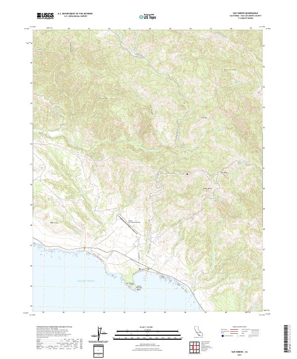
2021 Map of San Simeon
USGS Topo · Published 2021About this map
San Simeon Bay and its prominent San Simeon Point anchor this coastal landscape, where the Santa Lucia Range meets the Pacific Ocean. The topography is defined by sharp ridges and deep canyons, including Long Canyon and Green Canyon, which funnel seasonal drainage toward the shore. A significant landmark on the coastal terrace is the Hearst San Simeon Airstrip, located just south of the winding Arroyo del Puerto.
Find a feature on this map
41 named features on this map. Tap any name to fly to it.
Don’t see what you’re looking for? This feature index may not catch every label — zoom into the map to look around manually.
Map Details
Editions of this 2021 San Simeon Map
This is the sole edition of this map. No revisions or reprints were ever made.
Other maps of this area

1919 · Bryson
USGS Topo · 1:62,500

1919 · Piedras Blancas
USGS Topo · 1:62,500

1919 · San Simeon
USGS Topo · 1:62,500

1921 · Cape San Martin
USGS Topo · 1:62,500

1927 · Piedras Blancas
USGS Topo · 1:62,500

1937 · San Simeon
USGS Topo · 1:62,500

1941 · Cape San Martin
USGS Topo · 1:62,500

1941 · Bryson
USGS Topo · 1:62,500

1942 · Bryson
USGS Topo · 1:62,500

1942 · Cape San Martin
USGS Topo · 1:62,500