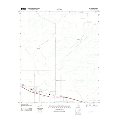
2011 Map of San Simon
USGS Topo · Published 2011About this map
The community of San Simon sits at the intersection of desert transport and water management in the high Chihuahuan Desert of Cochise County. This 2011 survey details the settlement's infrastructure, anchored by the San Simon Post Office and connected by the West San Simon Interchange and East San Simon Interchange. The landscape is defined by the ephemeral San Simon River and significant topographical features like McKenzie Peak and Gold Hill to the east. Water control is evident through the presence of the West Doubtful Detention Dam and livestock resources such as Hat Top Tank. Local travel and ranching access are facilitated by a network of named routes, including Sellars Ranch Rd, San Simon-Paradise Rd, and Doubtful Canyon Rd, which reflect the historic ranching and transit heritage of this southeastern Arizona corridor.
Find a feature on this map
27 named features on this map. Tap any name to fly to it.
Don’t see what you’re looking for? This feature index may not catch every label — zoom into the map to look around manually.
Map Details
Editions of this 2011 San Simon Map
This is the sole edition of this map. No revisions or reprints were ever made.
Other maps of this area

1917 · San Simon
USGS Topo · 1:125,000

1926 · Cochise Head
USGS Topo · 1:62,500

1926 · Orange Butte
USGS Topo · 1:62,500

1928 · Chenoweth
USGS Topo · 1:62,500

1928 · Bowie
USGS Topo · 1:62,500

1949 · Bowie
USGS Topo · 1:62,500

1950 · San Simon
USGS Topo · 1:62,500

1950 · Bowie
USGS Topo · 1:62,500

1950 · Cochise Head
USGS Topo · 1:62,500

1950 · Vanar
USGS Topo · 1:62,500