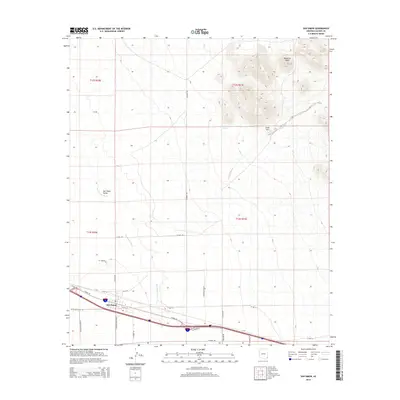
2014 Map of San Simon
USGS Topo · Published 2014About this map
San Simon sits at the intersection of the desert valley floor and the rising slopes of the northeast, where the San Simon River winds through the San Simon Valley. This 2014 survey captures the community’s layout along the Interstate 10 corridor, characterized by a grid of local roads like N Mahan Rd and N Parker Rd that serve the surrounding ranching and agricultural lands. To the northeast, the terrain transitions into a cluster of prominent elevations, most notably McKenzie Peak and Gold Hill. These peaks provide a natural boundary to the valley, while isolated water sources such as Hat Top Tank highlight the importance of water management in this arid Cochise County landscape. The map details the modern transportation network, including W Bus I-10 and several rural routes like W Sellers Ranch Rd, reflecting the region’s role as a transit point between Arizona and New Mexico.
Find a feature on this map
28 named features on this map. Tap any name to fly to it.
Don’t see what you’re looking for? This feature index may not catch every label — zoom into the map to look around manually.
Map Details
Editions of this 2014 San Simon Map
This is the sole edition of this map. No revisions or reprints were ever made.
Other maps of this area

1917 · San Simon
USGS Topo · 1:125,000

1926 · Cochise Head
USGS Topo · 1:62,500

1926 · Orange Butte
USGS Topo · 1:62,500

1928 · Chenoweth
USGS Topo · 1:62,500

1928 · Bowie
USGS Topo · 1:62,500

1949 · Bowie
USGS Topo · 1:62,500

1950 · San Simon
USGS Topo · 1:62,500

1950 · Bowie
USGS Topo · 1:62,500

1950 · Cochise Head
USGS Topo · 1:62,500

1950 · Vanar
USGS Topo · 1:62,500