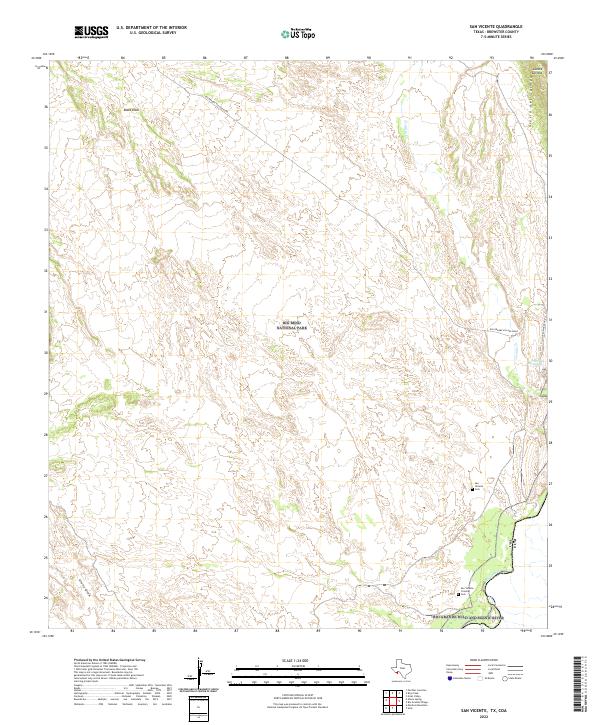
2022 Map of San Vicente
USGS Topo · Published 2022About this map
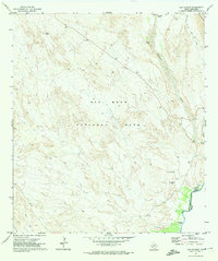
The Rio Grande Wild and Scenic River defines the international boundary along this portion of Brewster County, where the desert landscape transitions from the broad Glenn Draw to the steep rises of the Sierra del Carmen. Within the protected expanse of Big Bend National Park, the map documents the historical footprint of human activity near the river, notably the San Vicente Crossing and the nearby San Vicente Cem. These features point to a long history of cross-border movement and community life in this arid region.
Find a feature on this map
14 named features on this map. Tap any name to fly to it.
Don’t see what you’re looking for? This feature index may not catch every label — zoom into the map to look around manually.
Map Details
Editions of this 2022 San Vicente Map
This is the sole edition of this map. No revisions or reprints were ever made.
Other maps of this area

1903 · Chisos Mountains
USGS Topo · 1:125,000

1905 · Chisos Mountains
USGS Topo · 1:125,000

1930 · Stillwell Creek
USGS Topo · 1:62,500

1959 · Emory Peak
USGS Topo · 1:250,000

1965 · Emory Peak
USGS Topo · 1:250,000
1970 · Solis
USGS Topo · 1:24,000

1971 · Glenn Spring
USGS Topo · 1:24,000
1971 · Ernst Valley
USGS Topo · 1:24,000
1971 · Boquillas
USGS Topo · 1:24,000
1971 · San Vicente
USGS Topo · 1:24,000