
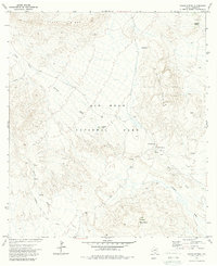
1971 Map of Glenn Spring
USGS Topo · Published 1973About this map
Glenn Spring serves as a focal point in this remote corner of Big Bend National Park, characterized by a complex drainage system and scattered remnants of early desert life. The landscape is dominated by the massive profile of Chilicotal Mountain and the high Hayes Ridge to the north, where water sources like Chilicotal Spring and Rice Tank once sustained livestock and travelers. The mapping of Rice Cem and an individual Grave near the spring site provides essential data for those tracing the human history of this arid environment.
Find a feature on this map
20 named features on this map. Tap any name to fly to it.
Don’t see what you’re looking for? This feature index may not catch every label — zoom into the map to look around manually.
Map Details
Editions of this 1971 Glenn Spring Map
2 editions found
Other maps of this area

1903 · Chisos Mountains
USGS Topo · 1:125,000

1905 · Chisos Mountains
USGS Topo · 1:125,000

1959 · Emory Peak
USGS Topo · 1:250,000

1965 · Emory Peak
USGS Topo · 1:250,000
1970 · Solis
USGS Topo · 1:24,000
1971 · Reed Camp
USGS Topo · 1:24,000
1971 · San Vicente
USGS Topo · 1:24,000
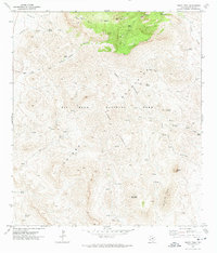
1971 · Emory Peak
USGS Topo · 1:24,000
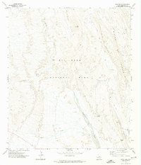
1971 · Roys Peak
USGS Topo · 1:24,000
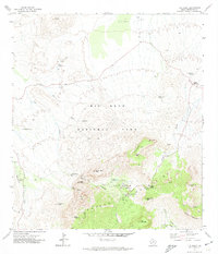
1971 · The Basin
USGS Topo · 1:24,000