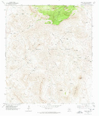
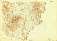
1971 Map of Emory Peak
USGS Topo · Published 1974About this map
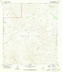
Chisos Mountains rise prominently across this 1971 survey of Big Bend National Park, documenting a landscape defined by dramatic elevation changes and essential water sources. The map captures the high-altitude geography around Emory Peak, showing the developed area of the Chisos Mtn Lodge and the high basin of Laguna Meadow. This era of the park’s history is preserved through the network of historic routes like the Dodson Trail and several pack trails that connect remote outposts such as Blue Creek Ranch.
Find a feature on this map
36 named features on this map. Tap any name to fly to it.
Don’t see what you’re looking for? This feature index may not catch every label — zoom into the map to look around manually.
Map Details
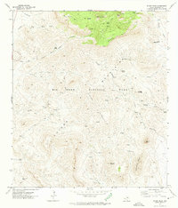
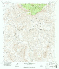
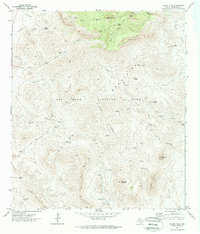
Editions of this 1971 Emory Peak Map
4 editions found
Other maps of this area

1903 · Chisos Mountains
USGS Topo · 1:125,000
1905 · Chisos Mountains
USGS Topo · 1:125,000

1959 · Emory Peak
USGS Topo · 1:250,000

1965 · Emory Peak
USGS Topo · 1:250,000
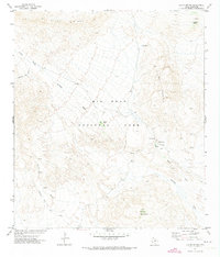
1971 · Glenn Spring
USGS Topo · 1:24,000
1971 · Cerro Castellan
USGS Topo · 1:24,000
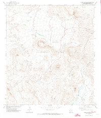
1971 · Reed Camp
USGS Topo · 1:24,000
1971 · Tule Mountain
USGS Topo · 1:24,000
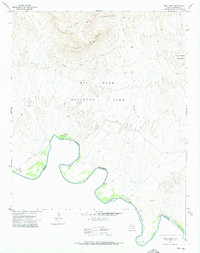
1971 · Smoky Creek
USGS Topo · 1:24,000
1971 · The Basin
USGS Topo · 1:24,000