
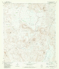
1971 Map of Cerro Castellan
USGS Topo · Published 1973About this map
Big Bend National Park reveals its dramatic volcanic and desert topography in this early 1970s survey. The landscape is dominated by the high elevations of the Chisos Mountains and the prominent volcanic plug of Cerro Castellan near the southwestern edge. Human history in this arid environment is evidenced by the Tule Spring Ruins and a network of primitive routes like the Chimneys Trail, which connects geological landmarks such as The Chimneys to more accessible points.
Find a feature on this map
29 named features on this map. Tap any name to fly to it.
Don’t see what you’re looking for? This feature index may not catch every label — zoom into the map to look around manually.
Map Details
Editions of this 1971 Cerro Castellan Map
4 editions found
Other maps of this area

1903 · Chisos Mountains
USGS Topo · 1:125,000

1903 · Terlingua
USGS Topo · 1:125,000

1904 · Terlingua
USGS Topo · 1:125,000

1905 · Chisos Mountains
USGS Topo · 1:125,000

1959 · Emory Peak
USGS Topo · 1:250,000

1965 · Emory Peak
USGS Topo · 1:250,000

1971 · Terlingua
USGS Topo · 1:24,000
1971 · Reed Camp
USGS Topo · 1:24,000
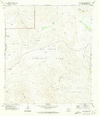
1971 · Tule Mountain
USGS Topo · 1:24,000
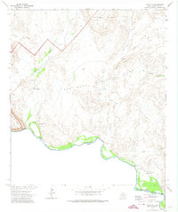
1971 · Castolon
USGS Topo · 1:24,000