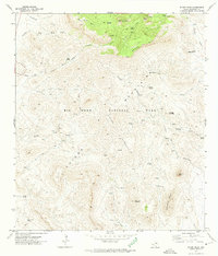
1971 Map of Emory Peak
USGS Topo · Published 1974About this map
Emory Peak stands as the high point of this high-desert landscape in the early 1970s, anchoring the heart of Big Bend National Park. The topography is defined by the massive volcanic uplifts of the Chisos and the Sierra Quemada, falling away sharply at the South Rim. This survey documents a transition from the historic cattle-ranching era to a protected wilderness, notably preserving the site of the Blue Creek Ranch and various Corrals scattered along the drainages. Water is the primary driver of movement and habitation here, with numerous vital points such as Cattail Springs, Boot Spring, and San Jacinto Spring linked by an extensive network of foot and horse paths. These include the Dodson Trail and several stretches of unnamed Pack Trail, reflecting how the terrain dictated transport long after the era of motorized travel began elsewhere.
Find a feature on this map
37 named features on this map. Tap any name to fly to it.
Don’t see what you’re looking for? This feature index may not catch every label — zoom into the map to look around manually.
Map Details
Editions of this 1971 Emory Peak Map
4 editions found
Other maps of this area

1903 · Chisos Mountains
USGS Topo · 1:125,000

1905 · Chisos Mountains
USGS Topo · 1:125,000

1959 · Emory Peak
USGS Topo · 1:250,000

1965 · Emory Peak
USGS Topo · 1:250,000

1971 · Glenn Spring
USGS Topo · 1:24,000

1971 · Cerro Castellan
USGS Topo · 1:24,000
1971 · Reed Camp
USGS Topo · 1:24,000
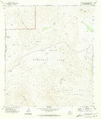
1971 · Tule Mountain
USGS Topo · 1:24,000
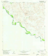
1971 · Smoky Creek
USGS Topo · 1:24,000
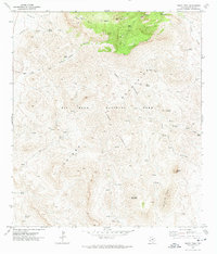
1971 · Emory Peak
USGS Topo · 1:24,000