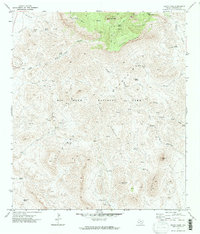
1971 Map of Emory Peak
USGS Topo · Published 1988About this map
Emory Peak rises as the central focal point of this high-altitude desert landscape within Big Bend National Park. The survey highlights the complex topography of the Chisos Mountains, where vital water sources like Cattail Springs, Ward Spring, and Boot Spring dictated the placement of human activity in an otherwise arid environment. Evidence of early cattle ranching and frontier life is visible at the Blue Creek Ranch and various labeled Corrals found along the drainage of Blue Creek.
Find a feature on this map
36 named features on this map. Tap any name to fly to it.
Don’t see what you’re looking for? This feature index may not catch every label — zoom into the map to look around manually.
Map Details
Editions of this 1971 Emory Peak Map
4 editions found
Other maps of this area

1903 · Chisos Mountains
USGS Topo · 1:125,000

1905 · Chisos Mountains
USGS Topo · 1:125,000

1959 · Emory Peak
USGS Topo · 1:250,000

1965 · Emory Peak
USGS Topo · 1:250,000

1971 · Glenn Spring
USGS Topo · 1:24,000

1971 · Cerro Castellan
USGS Topo · 1:24,000
1971 · Reed Camp
USGS Topo · 1:24,000
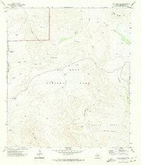
1971 · Tule Mountain
USGS Topo · 1:24,000
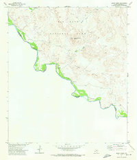
1971 · Smoky Creek
USGS Topo · 1:24,000
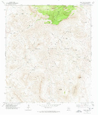
1971 · Emory Peak
USGS Topo · 1:24,000