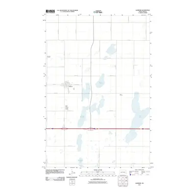
2011 Map of Sanborn
USGS Topo · Published 2011About this map
The town of Sanborn serves as the focal point of this Barnes County landscape, situated amidst a dense network of sectional roads and glacial water bodies. The community's social and ancestral history is well-preserved through several established grounds, including Sacred Heart Cemetery, Fairview Cemetery, and Saint Peter Cemetery, which are distributed around the town site. Beyond the residential grid, the terrain is defined by significant catchments such as Sanborn Lake to the east and the sprawling Hobart Lake further south. These lakes, alongside Round Lake and Sweetwater Lake, illustrate the drainage patterns of the prairie pothole region, where water bodies often dictate the path of local infrastructure. This 2011 survey details the precise layout of roads like Washington St and 32nd St SE as they navigate the wetlands and agricultural tracts typical of this North Dakota region.
Find a feature on this map
31 named features on this map. Tap any name to fly to it.
Don’t see what you’re looking for? This feature index may not catch every label — zoom into the map to look around manually.
Map Details
Editions of this 2011 Sanborn Map
This is the sole edition of this map. No revisions or reprints were ever made.
Other maps of this area

1897 · Eckelson
USGS Topo · 1:125,000

1952 · New Rockford
USGS Topo · 1:250,000

1953 · Jamestown
USGS Topo · 1:250,000

1956 · New Rockford
USGS Topo · 1:250,000

1956 · Jamestown
USGS Topo · 1:250,000

1961 · Leal
USGS Topo · 1:24,000

1961 · Baldhill Dam
USGS Topo · 1:24,000

1961 · Valley City West
USGS Topo · 1:24,000

1961 · Rogers
USGS Topo · 1:24,000

1970 · Eckelson
USGS Topo · 1:24,000