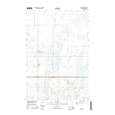
2014 Map of Sanborn
USGS Topo · Published 2014About this map
The town of Sanborn serves as the focal point of this Barnes County landscape, situated amidst a significant network of prairie lakes. The settlement is flanked by several local burial grounds, including Sacred Heart Cem and Fairview Cem just to the south, while Saint Peter Cem lies to the northwest. This concentration of cemeteries suggests a long-established community structure centered around the intersection of CR-11 and the regional rail line.
Find a feature on this map
26 named features on this map. Tap any name to fly to it.
Don’t see what you’re looking for? This feature index may not catch every label — zoom into the map to look around manually.
Map Details
Editions of this 2014 Sanborn Map
This is the sole edition of this map. No revisions or reprints were ever made.
Other maps of this area

1897 · Eckelson
USGS Topo · 1:125,000

1952 · New Rockford
USGS Topo · 1:250,000

1953 · Jamestown
USGS Topo · 1:250,000

1956 · New Rockford
USGS Topo · 1:250,000

1956 · Jamestown
USGS Topo · 1:250,000

1961 · Leal
USGS Topo · 1:24,000

1961 · Baldhill Dam
USGS Topo · 1:24,000

1961 · Valley City West
USGS Topo · 1:24,000

1961 · Rogers
USGS Topo · 1:24,000

1970 · Eckelson
USGS Topo · 1:24,000