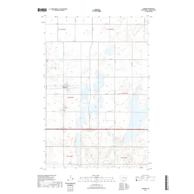
2020 Map of Sanborn
USGS Topo · Published 2020About this map
Sanborn anchors this Barnes County landscape, situated at the intersection of local routes like Washington St and Airport Rd. The town is surrounded by a high density of rural burial sites, providing significant data for genealogical research at Saint Peter Cem, Sacred Heart Cem, Fairview Cem, and Nebo Cem. These sites are spread across the sections of T140N R60W and T140N R59W, reflecting the early settlement patterns and faith communities of the prairie.
Find a feature on this map
26 named features on this map. Tap any name to fly to it.
Don’t see what you’re looking for? This feature index may not catch every label — zoom into the map to look around manually.
Map Details
Editions of this 2020 Sanborn Map
This is the sole edition of this map. No revisions or reprints were ever made.
Other maps of this area

1897 · Eckelson
USGS Topo · 1:125,000

1952 · New Rockford
USGS Topo · 1:250,000

1953 · Jamestown
USGS Topo · 1:250,000

1956 · New Rockford
USGS Topo · 1:250,000

1956 · Jamestown
USGS Topo · 1:250,000

1961 · Leal
USGS Topo · 1:24,000

1961 · Baldhill Dam
USGS Topo · 1:24,000

1961 · Valley City West
USGS Topo · 1:24,000

1961 · Rogers
USGS Topo · 1:24,000

1970 · Eckelson
USGS Topo · 1:24,000