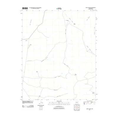
2010 Map of Sand Canyon
USGS Topo · Published 2010About this map
Armijo Spring and a series of high-desert windmills define this rural stretch of Cibola County, where the volcanic edge of The Malpais meets a complex system of drainage canyons. The landscape is marked by the deep incisions of Sand Canyon, Armijo Canyon, and Cebolla Canyon, which converge toward the southeast. These geographical features reflect a reliance on scarce water resources, evidenced by the distribution of named infrastructure such as the Indian Windmill and Cedar Windmill near the southern boundary.
Find a feature on this map
23 named features on this map. Tap any name to fly to it.
Don’t see what you’re looking for? This feature index may not catch every label — zoom into the map to look around manually.
Map Details
Editions of this 2010 Sand Canyon Map
This is the sole edition of this map. No revisions or reprints were ever made.
Other maps of this area

1917 · Broom Mountain
USGS Topo · 1:125,000

1954 · Saint Johns
USGS Topo · 1:250,000

1954 · Socorro
USGS Topo · 1:250,000

1957 · Saint Johns
USGS Topo · 1:250,000

1958 · Socorro
USGS Topo · 1:250,000

1958 · Saint Johns
USGS Topo · 1:250,000
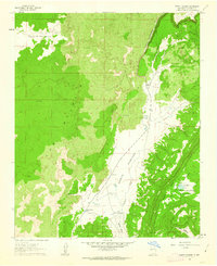
1961 · North Pasture
USGS Topo · 1:24,000
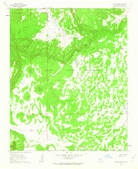
1961 · Laguna Honda
USGS Topo · 1:24,000

1962 · Socorro
USGS Topo · 1:250,000

1962 · Saint Johns
USGS Topo · 1:250,000