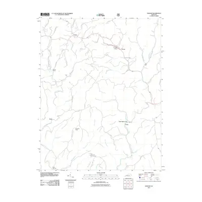
2010 Map of Sandgap
USGS Topo · Published 2010About this map
Sandgap and the surrounding Jackson County highlands are documented here at the start of the 2010s, revealing a landscape defined by ridgelines and the winding watercourses of the Cumberland Plateau. The community structure is anchored by rural landmarks such as the Waneta Post Office and the Bethel church, while the area's recreational and forest-management heritage is represented by the S Tree Lookout Tower and S Tree Campground.
Find a feature on this map
56 named features on this map. Tap any name to fly to it.
Don’t see what you’re looking for? This feature index may not catch every label — zoom into the map to look around manually.
Map Details
Editions of this 2010 Sandgap Map
This is the sole edition of this map. No revisions or reprints were ever made.
Other maps of this area

1891 · Manchester
USGS Topo · 1:125,000

1892 · Richmond
USGS Topo · 1:125,000

1892 · Beattyville
USGS Topo · 1:125,000

1893 · London
USGS Topo · 1:125,000

1897 · Richmond
USGS Topo · 1:125,000

1897 · London
USGS Topo · 1:125,000

1952 · Alcorn
USGS Topo · 1:24,000

1952 · Leighton
USGS Topo · 1:24,000

1952 · Bighill
USGS Topo · 1:24,000

1953 · Johnetta
USGS Topo · 1:24,000