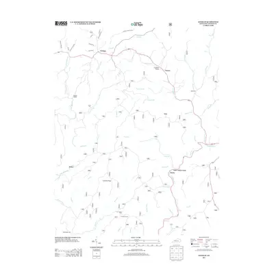
2013 Map of Sandgap
USGS Topo · Published 2013About this map
Sandgap and Waneta anchor the northern reaches of this Jackson County survey, situated along the ridge-running routes that define the local geography. The landscape is characterized by a complex network of hollows and creeks, including Congleton Hollow and Garden Hollow, which feed into major drainages like Birch Lick Cr and Horse Lick Cr. These waterways historically dictated the placement of small communities such as Bethel and Hurley.
Find a feature on this map
47 named features on this map. Tap any name to fly to it.
Don’t see what you’re looking for? This feature index may not catch every label — zoom into the map to look around manually.
Map Details
Editions of this 2013 Sandgap Map
This is the sole edition of this map. No revisions or reprints were ever made.
Other maps of this area

1891 · Manchester
USGS Topo · 1:125,000

1892 · Richmond
USGS Topo · 1:125,000

1892 · Beattyville
USGS Topo · 1:125,000

1893 · London
USGS Topo · 1:125,000

1897 · Richmond
USGS Topo · 1:125,000

1897 · London
USGS Topo · 1:125,000

1952 · Alcorn
USGS Topo · 1:24,000

1952 · Leighton
USGS Topo · 1:24,000

1952 · Bighill
USGS Topo · 1:24,000

1953 · Johnetta
USGS Topo · 1:24,000