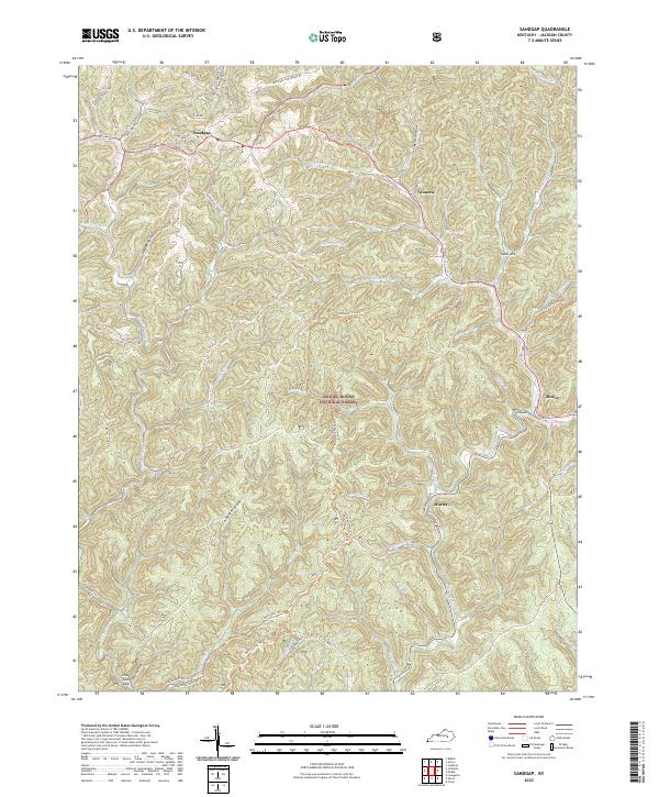
2022 Map of Sandgap
USGS Topo · Published 2022About this map
Sandgap and the surrounding Jackson County highlands are defined by the dense network of ridges and hollows within the Daniel Boone National Forest. This 2022 survey captures a landscape where small settlements like Waneta and Hurley are tucked into the valleys created by numerous tributaries, including Clover Bottom Cr and Birch Lick Cr. The terrain is characterized by steep elevation changes, with Carpenter Ridge and Bethel Ridge framing the local geography. Significant for outdoor recreation and local history, the Sheltowee Trace Trl winds through the central portion of the map, following the natural contours of the land. For genealogists, the Carpenter Cem remains a notable landmark on the high ground of the ridge, while the county seat of McKee appears on the eastern edge, serving as a primary point of navigation in this complex drainage system of the Roses Fork and Sand Lick Cr.
Find a feature on this map
58 named features on this map. Tap any name to fly to it.
Don’t see what you’re looking for? This feature index may not catch every label — zoom into the map to look around manually.
Map Details
Editions of this 2022 Sandgap Map
This is the sole edition of this map. No revisions or reprints were ever made.
Other maps of this area

1891 · Manchester
USGS Topo · 1:125,000

1892 · Richmond
USGS Topo · 1:125,000

1892 · Beattyville
USGS Topo · 1:125,000

1893 · London
USGS Topo · 1:125,000

1897 · Richmond
USGS Topo · 1:125,000

1897 · London
USGS Topo · 1:125,000

1952 · Alcorn
USGS Topo · 1:24,000

1952 · Leighton
USGS Topo · 1:24,000

1952 · Bighill
USGS Topo · 1:24,000

1953 · Johnetta
USGS Topo · 1:24,000