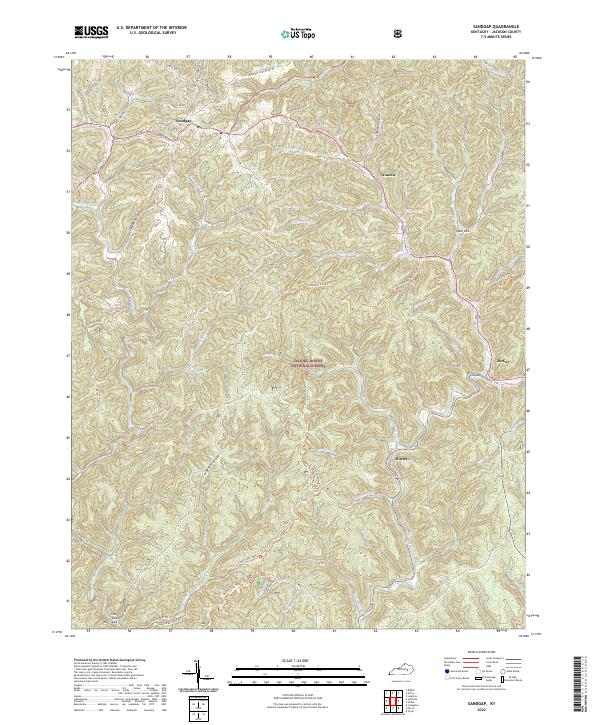
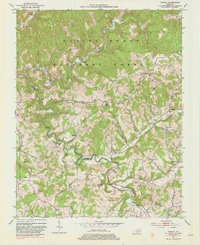
2022 Map of Sandgap
USGS Topo · Published 2022This historical map portrays the area of Sandgap in 2022, primarily covering Jackson County. Featuring a scale of 1:24000, this map provides a highly detailed snapshot of the terrain, roads, buildings, counties, and historical landmarks in the Sandgap region at the time. Published in 2022, it is the sole known edition of this map.
Map Details
Editions of this 2022 Sandgap Map
This is the sole edition of this map. No revisions or reprints were ever made.
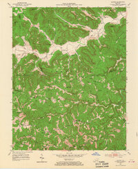
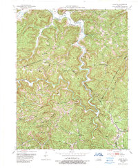
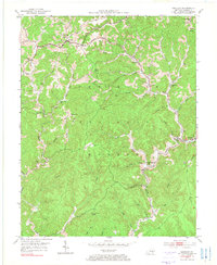
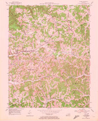
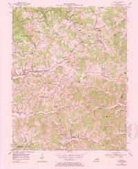
Historical Maps of Sand Gap Through Time
12 maps found
1952 Alcorn
Jackson County, KY
1952 Leighton
Jackson County, KY
1953 Mc Kee
Jackson County, KY
1953 Parrot
Jackson County, KY
1953 Sandgap
Jackson County, KY
1953 Tyner
Jackson County, KY
1976 Tyner
Jackson County, KY
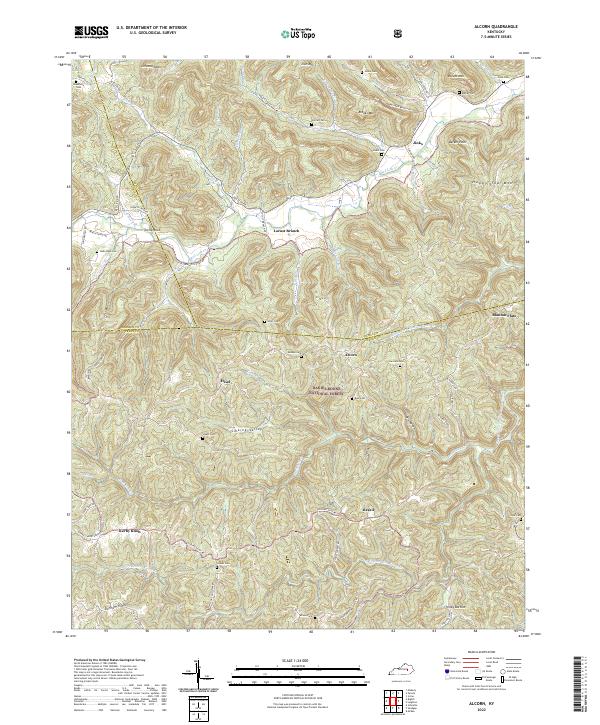
2022 Alcorn
Jackson County, KY
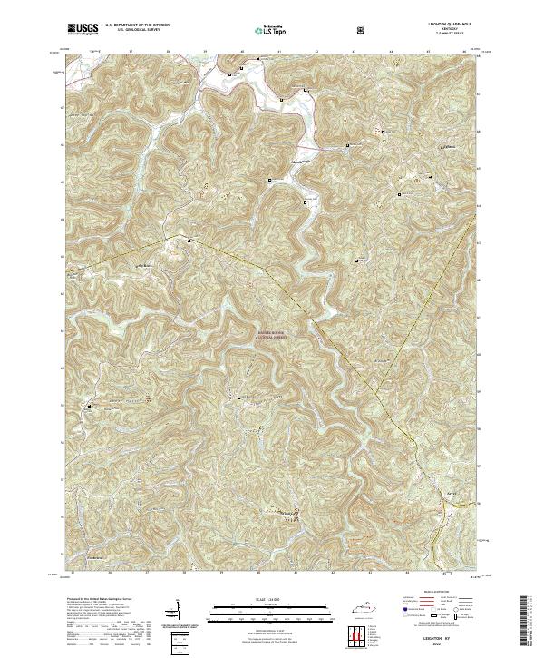
2022 Leighton
Jackson County, KY
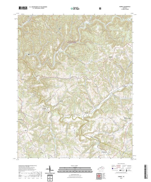
2022 Parrot
Jackson County, KY
2022 Sandgap
Jackson County, KY
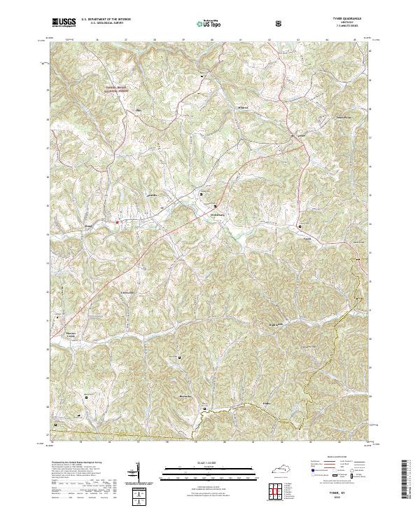
2022 Tyner
Jackson County, KY