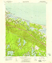
1957 Map of Sandwich
USGS Topo · Published 1958About this map
Sandwich and East Sandwich anchor this coastal landscape where the western terminus of the Cape Cod Canal meets the waters of Cape Cod Bay. The 1957 revision captures a period of transition, showing the newly constructed Mid-Cape Highway cutting through the center of the quadrangle while preserving older landmarks like the Old Quaker Meetinghouse and Wing Sch. The map documents a diverse local economy through the State Fish Hatchery, the State Game Farm, and numerous Cranberry Bogs dotting the lowlands near Scorton Creek.
Find a feature on this map
85 named features on this map. Tap any name to fly to it.
Don’t see what you’re looking for? This feature index may not catch every label — zoom into the map to look around manually.
Map Details
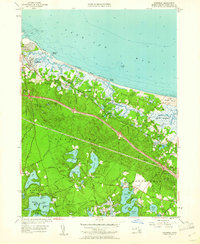
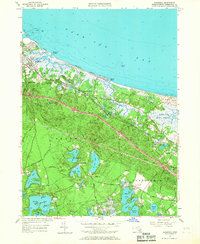
Editions of this 1957 Sandwich Map
3 editions found
Other maps of this area

1886 · Falmouth
USGS Topo · 1:62,500

1886 · Plymouth
USGS Topo · 1:62,500

1888 · Barnstable
USGS Topo · 1:62,500

1888 · Falmouth
USGS Topo · 1:62,500

1889 · Plymouth
USGS Topo · 1:62,500

1893 · Barnstable
USGS Topo · 1:62,500

1893 · Falmouth
USGS Topo · 1:62,500

1894 · Plymouth
USGS Topo · 1:62,500

1915 · Falmouth
USGS Topo · 1:62,500

1920 · Falmouth
USGS Topo · 1:62,500