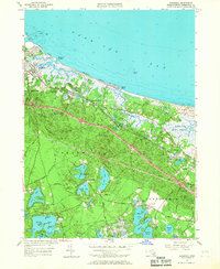
1957 Map of Sandwich
USGS Topo · Published 1967About this map
The coastal salt marshes and intricate glacial kettle ponds of the upper Cape define this mid-century landscape. The New York New Haven and Hartford railroad tracks parallel the coastline, serving the historic core of Sandwich, where the Cape Cod Canal enters Cape Cod Bay near Town Neck Beach. Inland, the terrain is dotted with significant local landmarks including the State Fish Hatchery and the Old Quaker Meetinghouse, reflecting the area's long-standing community roots.
Find a feature on this map
69 named features on this map. Tap any name to fly to it.
Don’t see what you’re looking for? This feature index may not catch every label — zoom into the map to look around manually.
Map Details
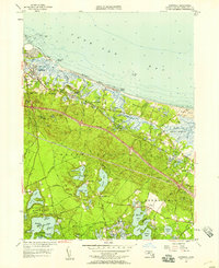
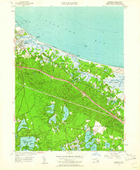
Editions of this 1957 Sandwich Map
3 editions found
Other maps of this area

1886 · Falmouth
USGS Topo · 1:62,500

1886 · Plymouth
USGS Topo · 1:62,500

1888 · Barnstable
USGS Topo · 1:62,500

1888 · Falmouth
USGS Topo · 1:62,500

1889 · Plymouth
USGS Topo · 1:62,500

1893 · Barnstable
USGS Topo · 1:62,500

1893 · Falmouth
USGS Topo · 1:62,500

1894 · Plymouth
USGS Topo · 1:62,500

1915 · Falmouth
USGS Topo · 1:62,500

1920 · Falmouth
USGS Topo · 1:62,500