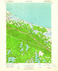
1957 Map of Sandwich
USGS Topo · Published 1961About this map
Sandwich and East Sandwich anchor this coastal landscape along Cape Cod Bay, where the maritime economy meets inland agricultural and conservation efforts. The topography is defined by significant water systems, from the industrial Cape Cod Canal to the expansive Great Marshes and several harbor inlets like Scorton Harbor. Further inland, the presence of the State Game Farm and the State Fish Hatchery indicates a mid-century focus on wildlife management and local resource preservation.
Find a feature on this map
85 named features on this map. Tap any name to fly to it.
Don’t see what you’re looking for? This feature index may not catch every label — zoom into the map to look around manually.
Map Details
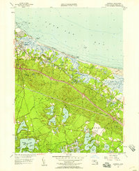
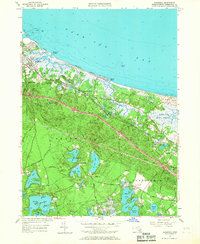
Editions of this 1957 Sandwich Map
3 editions found
Other maps of this area

1886 · Falmouth
USGS Topo · 1:62,500

1886 · Plymouth
USGS Topo · 1:62,500

1888 · Barnstable
USGS Topo · 1:62,500

1888 · Falmouth
USGS Topo · 1:62,500

1889 · Plymouth
USGS Topo · 1:62,500

1893 · Barnstable
USGS Topo · 1:62,500

1893 · Falmouth
USGS Topo · 1:62,500

1894 · Plymouth
USGS Topo · 1:62,500

1915 · Falmouth
USGS Topo · 1:62,500

1920 · Falmouth
USGS Topo · 1:62,500