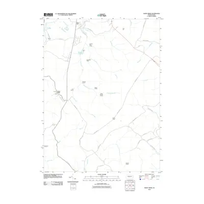
2010 Map of Sandy Ridge
USGS Topo · Published 2010About this map
Sandy Ridge and the surrounding high ground of Centre County define this topography, where the landscape is marked by a series of deeply carved hollows and prominent ridges. Small settlements such as Glass City and Powelton are situated along the winding paths of roads like Ponderosa Dr and S Mountain Rd. The area's water management is anchored by the Philipsburg Reservoir and the associated Upper Dam on Cold Stream, providing a clear look at the infrastructure serving the local community.
Find a feature on this map
45 named features on this map. Tap any name to fly to it.
Don’t see what you’re looking for? This feature index may not catch every label — zoom into the map to look around manually.
Map Details
Editions of this 2010 Sandy Ridge Map
This is the sole edition of this map. No revisions or reprints were ever made.
Other maps of this area

1903 · Houtzdale
USGS Topo · 1:62,500

1905 · Houtzdale
USGS Topo · 1:62,500

1920 · Altoona
USGS Topo · 1:62,500

1922 · Philipsburg
USGS Topo · 1:62,500

1922 · Altoona
USGS Topo · 1:62,500

1923 · Tyrone
USGS Topo · 1:62,500

1929 · Tyrone
USGS Topo · 1:48,000

1933 · Tyrone
USGS Topo · 1:62,500

1939 · Philipsburg
USGS Topo · 1:62,500

1944 · Houtzdale
USGS Topo · 1:24,000