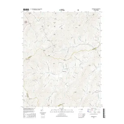
2016 Map of Sandymush
USGS Topo · Published 2016About this map
Sandymush and the surrounding high-country coves define this landscape where the boundaries of Madison, Buncombe, and Haywood counties converge. Located within the Pisgah National Forest, the area is characterized by steep summits and deep hollows, including Yellow Mtn and Little Sandymush Bald. The settlement patterns follow the winding creek beds and gaps, with small communities like Luck and Canto serving as local anchors.
Find a feature on this map
115 named features on this map. Tap any name to fly to it.
Don’t see what you’re looking for? This feature index may not catch every label — zoom into the map to look around manually.
Map Details
Editions of this 2016 Sandymush Map
This is the sole edition of this map. No revisions or reprints were ever made.
Other maps of this area

1894 · Asheville
USGS Topo · 1:125,000

1901 · Asheville
USGS Topo · 1:125,000

1935 · Canton
USGS Topo · 1:24,000

1935 · Clyde
USGS Topo · 1:24,000

1935 · Spring Creek
USGS Topo · 1:24,000

1935 · Lemon Gap
USGS Topo · 1:24,000

1936 · Marshall
USGS Topo · 1:24,000

1936 · Sandymush
USGS Topo · 1:24,000

1936 · Enka
USGS Topo · 1:24,000

1936 · Hepco
USGS Topo · 1:24,000