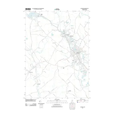
2011 Map of Sanford
USGS Topo · Published 2011About this map
Sanford and the village of Springvale serve as the industrial and population hubs of this York County landscape, centered on the power generated by the Mousam River. The map meticulously records the water control infrastructure that drove the region's historical development, including the Goodall Sanford Dam, River Street Dam, and Mill Street Dam. In the northwest, Emery Mills sits at the outlet of Mousam Lake, while the southern reaches transition into the highlands of Bauneg Beg Mountain and Mount Hope. Genealogical researchers will find value in the distinct clusters of burial grounds, such as Notre Dame Cemetery and Saint Ignatius Cemetery, which reflect the community's cultural heritage. The presence of the University of Southern Maine - Sanford and the Springvale Post Office highlights the ongoing role of these settlements as regional centers of education and civil service.
Find a feature on this map
125 named features on this map. Tap any name to fly to it.
Don’t see what you’re looking for? This feature index may not catch every label — zoom into the map to look around manually.
Map Details
Editions of this 2011 Sanford Map
This is the sole edition of this map. No revisions or reprints were ever made.
Other maps of this area

1891 · Berwick
USGS Topo · 1:62,500

1891 · Kennebunk
USGS Topo · 1:62,500

1891 · Buxton
USGS Topo · 1:62,500

1891 · Newfield
USGS Topo · 1:62,500

1892 · Buxton
USGS Topo · 1:62,500

1893 · Kennebunk
USGS Topo · 1:62,500

1893 · Berwick
USGS Topo · 1:62,500

1893 · Buxton
USGS Topo · 1:62,500

1893 · Newfield
USGS Topo · 1:62,500

1898 · Kennebunk
USGS Topo · 1:62,500