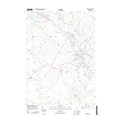
2014 Map of Sanford
USGS Topo · Published 2014About this map
Sanford and the industrial village of Springvale serve as the focal points of this York County landscape, where the Mousam River corridor historically powered the region's development. The geography is defined by a dense concentration of lineage-rich landmarks, including the Saint Ignatius Cem and Notre Dame Cem, reflecting the area's cultural heritage. To the northwest, Emery Mills sits near the shores of Mousam Lake, while the southern reaches are marked by the prominent rise of Bauneg Beg Mountain.
Find a feature on this map
128 named features on this map. Tap any name to fly to it.
Don’t see what you’re looking for? This feature index may not catch every label — zoom into the map to look around manually.
Map Details
Editions of this 2014 Sanford Map
This is the sole edition of this map. No revisions or reprints were ever made.
Other maps of this area

1891 · Berwick
USGS Topo · 1:62,500

1891 · Kennebunk
USGS Topo · 1:62,500

1891 · Buxton
USGS Topo · 1:62,500

1891 · Newfield
USGS Topo · 1:62,500

1892 · Buxton
USGS Topo · 1:62,500

1893 · Kennebunk
USGS Topo · 1:62,500

1893 · Berwick
USGS Topo · 1:62,500

1893 · Buxton
USGS Topo · 1:62,500

1893 · Newfield
USGS Topo · 1:62,500

1898 · Kennebunk
USGS Topo · 1:62,500