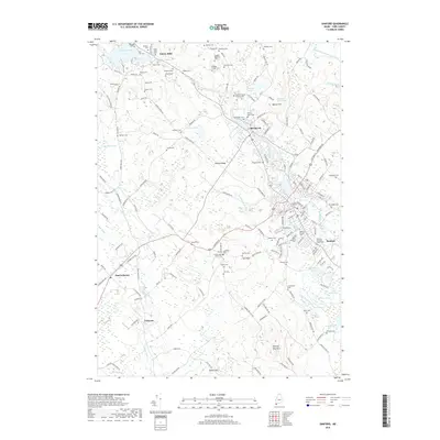
2018 Map of Sanford
USGS Topo · Published 2018About this map
Sanford and its northern village of Springvale serve as the focal points for this late-2010s survey of southern Maine. The landscape is defined by the flow of the Mousam River and its various impoundments, including Number 3 Pond and Beaver Hill Pond. A high concentration of burial sites, such as the Southern Maine Veterans Cem and the Bennett/Moulton/Sweat Cem, offers a detailed map for genealogists tracing York County family lineages.
Find a feature on this map
171 named features on this map. Tap any name to fly to it.
Don’t see what you’re looking for? This feature index may not catch every label — zoom into the map to look around manually.
Map Details
Editions of this 2018 Sanford Map
This is the sole edition of this map. No revisions or reprints were ever made.
Other maps of this area

1891 · Berwick
USGS Topo · 1:62,500

1891 · Kennebunk
USGS Topo · 1:62,500

1891 · Buxton
USGS Topo · 1:62,500

1891 · Newfield
USGS Topo · 1:62,500

1892 · Buxton
USGS Topo · 1:62,500

1893 · Kennebunk
USGS Topo · 1:62,500

1893 · Berwick
USGS Topo · 1:62,500

1893 · Buxton
USGS Topo · 1:62,500

1893 · Newfield
USGS Topo · 1:62,500

1898 · Kennebunk
USGS Topo · 1:62,500