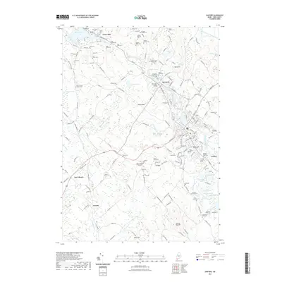
2021 Map of Sanford
USGS Topo · Published 2021About this map
Springvale and Sanford anchor this detailed study of the Mousam River corridor in York County. The landscape is characterized by a dense distribution of small family burial grounds and established churchyards, such as the Saint Ignatius Cem and Worster Family Burial Ground, which offer significant value for genealogical research. The region's hydrography is equally prominent, featuring a chain of water bodies including Mousam Lake, Number 3 Pond, and the Great Works River. In the western portion of the map, East Lebanon sits near the winding course of the Little River, while the southern reaches are dominated by the elevation of Bauneg Beg Mtn. This record illustrates the transition from the concentrated residential streets of the town centers to the sprawling hills and ridges like Hanson Ridge and Shaws Ridge.
Find a feature on this map
175 named features on this map. Tap any name to fly to it.
Don’t see what you’re looking for? This feature index may not catch every label — zoom into the map to look around manually.
Map Details
Editions of this 2021 Sanford Map
This is the sole edition of this map. No revisions or reprints were ever made.
Other maps of this area

1891 · Berwick
USGS Topo · 1:62,500

1891 · Kennebunk
USGS Topo · 1:62,500

1891 · Buxton
USGS Topo · 1:62,500

1891 · Newfield
USGS Topo · 1:62,500

1892 · Buxton
USGS Topo · 1:62,500

1893 · Kennebunk
USGS Topo · 1:62,500

1893 · Berwick
USGS Topo · 1:62,500

1893 · Buxton
USGS Topo · 1:62,500

1893 · Newfield
USGS Topo · 1:62,500

1898 · Kennebunk
USGS Topo · 1:62,500