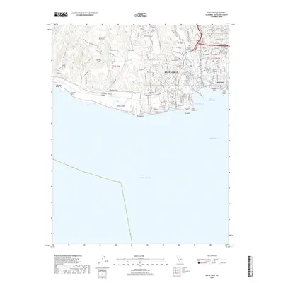
2018 Map of Santa Cruz
USGS Topo · Published 2018About this map
Santa Cruz and the adjacent Seabright district anchor this coastal survey, where the San Lorenzo River meets Monterey Bay. The northern reaches of the city are defined by the sprawling Univ of California Santa Cruz Campus, set against the foothills of the Santa Cruz Mountains. This area preserves several historic burial grounds, including the Evergreen Cem and the Independent Order of Oddfellows Cem, while the coast is marked by significant wetlands like Nearys Lagoon and Antonelli Pond.
Find a feature on this map
181 named features on this map. Tap any name to fly to it.
Don’t see what you’re looking for? This feature index may not catch every label — zoom into the map to look around manually.
Map Details
Editions of this 2018 Santa Cruz Map
This is the sole edition of this map. No revisions or reprints were ever made.
Other maps of this area

1902 · Santa Cruz
USGS Topo · 1:125,000

1912 · Capitola
USGS Topo · 1:62,500

1914 · Capitola
USGS Topo · 1:62,500

1916 · New Almaden
USGS Topo · 1:48,000

1919 · New Almaden
USGS Topo · 1:62,500

1940 · Capitola
USGS Topo · 1:62,500

1940 · Los Gatos
USGS Topo · 1:62,500

1943 · Los Gatos
USGS Topo · 1:62,500

1947 · San Francisco
USGS Topo · 1:250,000

1947 · San Jose
USGS Topo · 1:250,000