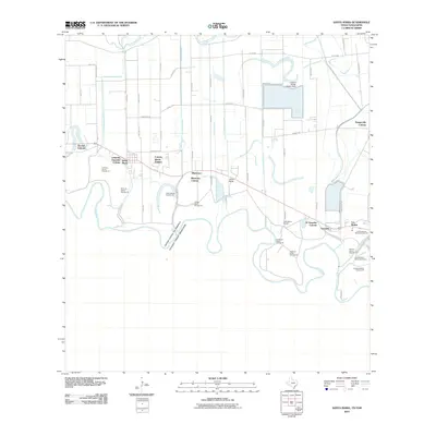
1956 Map of Santa Maria
USGS Topo · Published 1959About this map
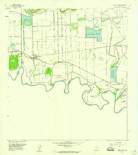
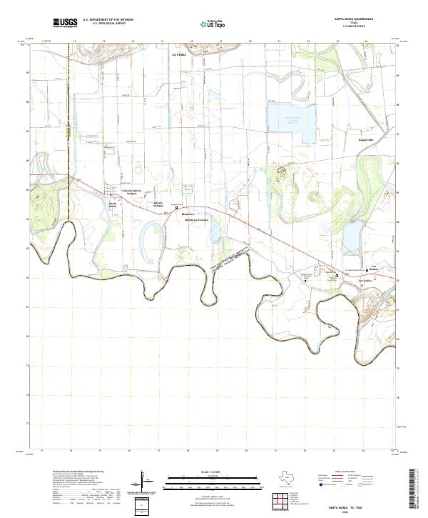
Meandering loops of the Rio Grande define the landscape south of Santa Maria in this mid-century survey of the Lower Rio Grande Valley. The intricate network of irrigation canals and pumping stations, such as the La Feria Pumping Sta and Santa Maria Pumping Sta, highlights the region's intensive agricultural development during the 1950s. A series of cut-off river segments known as bancos, including Palma Banco No 25 and El Zurron Banco No 26, mark the shifting international boundary between the United States and Mexico and the state line of Texas and Tamaulipas. Inland, the map captures the transition from ranch lands like Gloria Ranch and Galveston Ranch to organized water storage at Adams Gardens Reservoir and Willacy Reservoir, serving the small settlements of Bluetown and Las Rusias.
Find a feature on this map
35 named features on this map. Tap any name to fly to it.
Don’t see what you’re looking for? This feature index may not catch every label — zoom into the map to look around manually.
Map Details
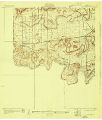
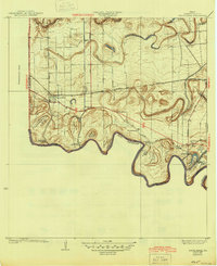
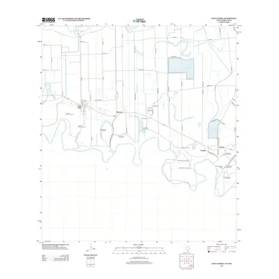
Editions of this 1956 Santa Maria Map
2 editions found
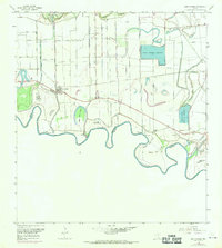
Historical Maps of La Feria Through Time
9 maps found
1929 Santa Maria
Cameron County, TX
1936 Santa Maria
Cameron County, TX
1956 Santa Maria
Cameron County, TX

2002 Santa Maria
Cameron County, TX
2010 Santa Maria
Cameron County, TX
2013 Santa Maria
Cameron County, TX
2016 Santa Maria
Cameron County, TX
2019 Santa Maria
Cameron County, TX
2022 Santa Maria
Cameron County, TX