
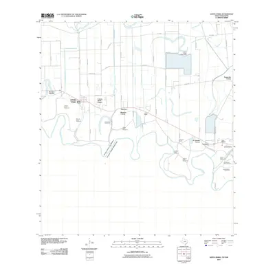
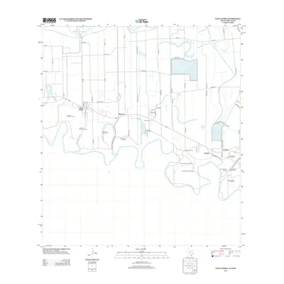
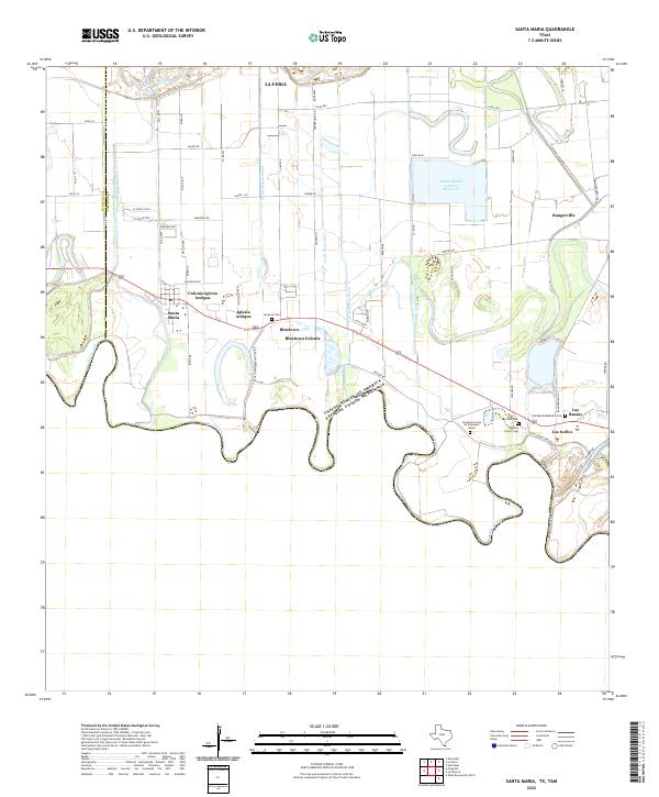
2002 Map of Santa Maria
USGS Topo · Published 2003About this map
Santa Maria and Bluetown anchor this stretch of the Rio Grande valley, where the international boundary follows the winding course of the Rio Grande Bravo. The landscape is a complex network of agricultural infrastructure and protected lands, characterized by the Lower Rio Grande Valley National Wildlife Refuge and irrigation features like the Adams Gardens Reservoir. Along the Military Highway, local landmarks such as Gonzales Sch and the Middle Sch serve the rural population. Numerous river-bend features, historically designated as bancos such as Villitas Banco No 24 and Soliseño Banco No 81, reflect the shifting hydrology of the borderlands. The map also detail essential utility sites including the Santa Maria Pumping Sta and La Feria Pumping Sta, which supported the region's intensive irrigation needs into the early 21st century.
Find a feature on this map
55 named features on this map. Tap any name to fly to it.
Don’t see what you’re looking for? This feature index may not catch every label — zoom into the map to look around manually.
Map Details
Editions of this 2002 Santa Maria Map
This is the sole edition of this map. No revisions or reprints were ever made.
Historical Maps of La Feria Through Time
9 maps found
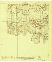
1929 Santa Maria
Cameron County, TX
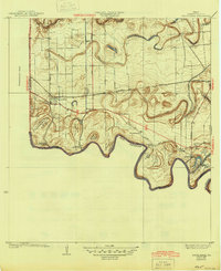
1936 Santa Maria
Cameron County, TX
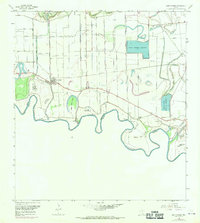
1956 Santa Maria
Cameron County, TX
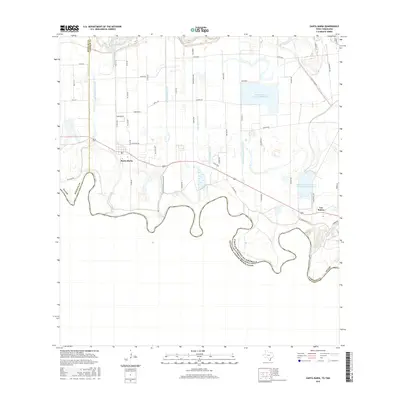
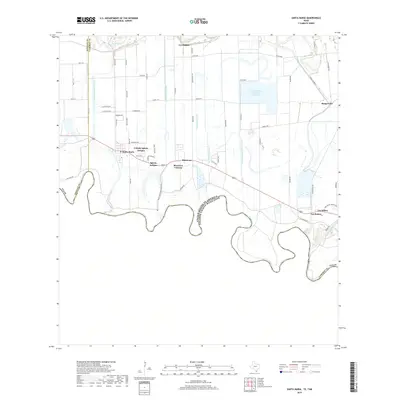
2002 Santa Maria
Cameron County, TX
2010 Santa Maria
Cameron County, TX
2013 Santa Maria
Cameron County, TX
2016 Santa Maria
Cameron County, TX
2019 Santa Maria
Cameron County, TX
2022 Santa Maria
Cameron County, TX