1979 Map of Santaquin
USGS Topo · Published 1984About this map
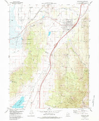
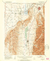
Santaquin and the surrounding agricultural valleys of Goshen Valley and Juab Valley are the central focus of this late 1970s topographic study. The landscape is defined by the transition from the irrigated basin floors, serviced by the Strawberry Highline Canal, to the steep elevations of the Uinta National Forest and Bald Mountain. The presence of several mines and prospects along the eastern slopes of Santaquin Canyon and Pole Canyon points to a history of mineral exploration in the region.
Find a feature on this map
50 named features on this map. Tap any name to fly to it.
Don’t see what you’re looking for? This feature index may not catch every label — zoom into the map to look around manually.
Map Details
Editions of this 1979 Santaquin Map
This is the sole edition of this map. No revisions or reprints were ever made.
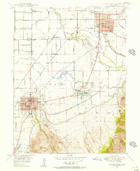
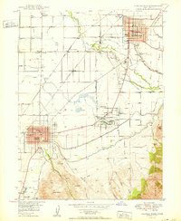
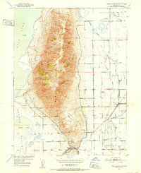
Other maps of this area

1885 · Salt Lake
USGS Topo · 1:250,000

1885 · Manti
USGS Topo · 1:250,000

1895 · Manti
USGS Topo · 1:250,000
1948 · Spanish Fork
USGS Topo · 1:24,000

1949 · Provo
USGS Topo · 1:62,500
1950 · Spanish Fork
USGS Topo · 1:24,000
1950 · West Mountain
USGS Topo · 1:24,000
1950 · Goshen Valley North
USGS Topo · 1:24,000
1950 · West Mountain
USGS Topo · 1:62,500
1951 · Santaquin
USGS Topo · 1:62,500