
1950 Map of West Mountain
USGS Topo · Published 1951About this map
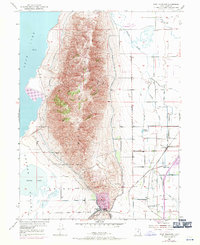
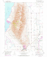
West Mountain dominates this 1950 Utah County landscape, rising sharply between the waters of Utah Lake to the west and the agricultural valleys to the east. The southern edge of the mountain is defined by Goshen Gap and the industrial activity at the Keigley Quarry, which is served by a spur of the Denver and Rio Grande Western railroad. To the south and west, the terrain transitions into the Goshen Valley and the marshy edges of White Lake.
Find a feature on this map
22 named features on this map. Tap any name to fly to it.
Don’t see what you’re looking for? This feature index may not catch every label — zoom into the map to look around manually.
Map Details
Editions of this 1950 West Mountain Map
3 editions found
Other maps of this area

1885 · Salt Lake
USGS Topo · 1:250,000

1885 · Manti
USGS Topo · 1:250,000

1895 · Manti
USGS Topo · 1:250,000

1948 · Spanish Fork
USGS Topo · 1:24,000

1948 · Provo
USGS Topo · 1:24,000

1949 · Provo
USGS Topo · 1:62,500

1950 · Provo
USGS Topo · 1:24,000

1950 · Spanish Fork
USGS Topo · 1:24,000
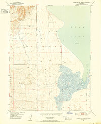
1950 · Goshen Valley North
USGS Topo · 1:24,000
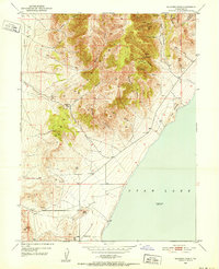
1950 · Soldiers Pass
USGS Topo · 1:24,000