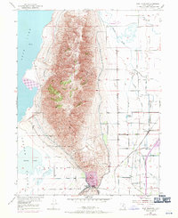
1950 Map of West Mountain
USGS Topo · Published 1971About this map
West Mountain dominates the central landscape of this 1950 survey, rising between the southern shores of Utah Lake and the agriculture-rich Goshen Valley. Industrial activity is concentrated at the southern tip of the mountain at the Keigley Quarry and near Goshen Gap, where a network of gravel pits and wells supported local mining operations. The mapping of the Genola Town Boundary reveals a community defined by its proximity to the rugged terrain of Long Ridge and the rail corridors to the east.
Find a feature on this map
21 named features on this map. Tap any name to fly to it.
Don’t see what you’re looking for? This feature index may not catch every label — zoom into the map to look around manually.
Map Details
Editions of this 1950 West Mountain Map
3 editions found
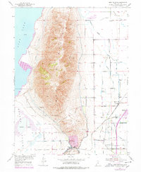
Other maps of this area

1885 · Salt Lake
USGS Topo · 1:250,000

1885 · Manti
USGS Topo · 1:250,000

1895 · Manti
USGS Topo · 1:250,000

1948 · Spanish Fork
USGS Topo · 1:24,000

1948 · Provo
USGS Topo · 1:24,000

1949 · Provo
USGS Topo · 1:62,500

1950 · Provo
USGS Topo · 1:24,000

1950 · Spanish Fork
USGS Topo · 1:24,000

1950 · West Mountain
USGS Topo · 1:24,000
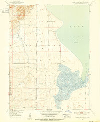
1950 · Goshen Valley North
USGS Topo · 1:24,000