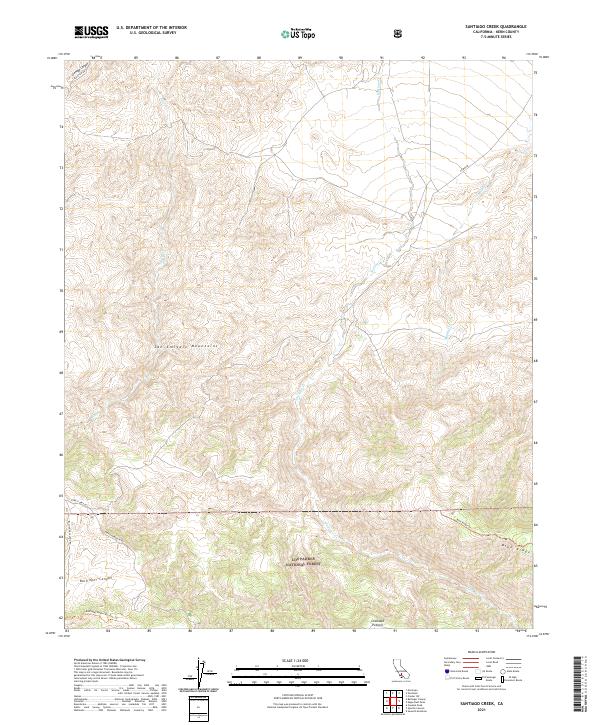
2021 Map of Santiago Creek
USGS Topo · Published 2021About this map
The San Emigdio Mountains dominate this 2021 landscape, where the high-elevation terrain serves as a vital ecological corridor within the Bitter Creek National Wildlife Refuge and the Los Padres National Forest. The map captures a complex network of seasonal drainages, including Santiago Cr, Bitter Cr, and Muddy Cr, which have carved deep paths through the upland territory.
Find a feature on this map
22 named features on this map. Tap any name to fly to it.
Don’t see what you’re looking for? This feature index may not catch every label — zoom into the map to look around manually.
Map Details
Editions of this 2021 Santiago Creek Map
This is the sole edition of this map. No revisions or reprints were ever made.
Other maps of this area

1903 · Mt. Pinos
USGS Topo · 1:125,000

1910 · Buena Vista Lake
USGS Topo · 1:125,000

1912 · Buena Vista Lake
USGS Topo · 1:125,000

1931 · Pentland Junction
USGS Topo · 1:31,680

1931 · Hayes Ranch
USGS Topo · 1:31,680

1933 · Hayes Ranch
USGS Topo · 1:31,680

1934 · Pentland
USGS Topo · 1:31,680

1942 · Eagle Rest Peak
USGS Topo · 1:24,000

1942 · Ballinger Canyon
USGS Topo · 1:24,000

1943 · Maricopa
USGS Topo · 1:31,680