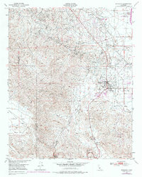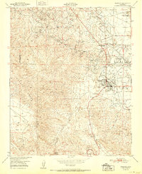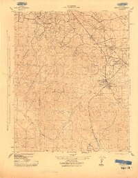
1943 Map of Maricopa
USGS Topo · Published 1943About this map
Industrial expansion defines the landscape of Maricopa during the early 1940s, as the War Department and Corps of Engineers documented this vital oil-producing region. The map reveals an intricate network of energy infrastructure, including the Norwalk Oil Co Refinery, Standard Oil Gas Plant No 31 E, and multiple Oil Sump sites. This concentration of industrial activity is supported by a robust transportation and utility grid, notably the Sunset Railway and lines belonging to Pacific Gas and Electric Co.
Find a feature on this map
29 named features on this map. Tap any name to fly to it.
Don’t see what you’re looking for? This feature index may not catch every label — zoom into the map to look around manually.
Map Details
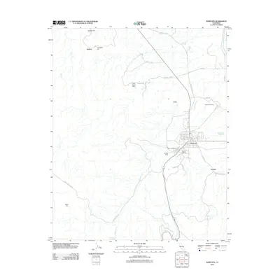
Editions of this 1943 Maricopa Map
This is the sole edition of this map. No revisions or reprints were ever made.
Historical Maps of Taft Through Time
8 maps found